Tartaristan: Difference between revisions
From MicrasWiki
Jump to navigationJump to search
No edit summary |
No edit summary |
||
| Line 9: | Line 9: | ||
|largecity = | |largecity = | ||
|area = 1,750,608 km<sup>2</sup> | |area = 1,750,608 km<sup>2</sup> | ||
|pop = | |pop = 8,150,916 <small>''[[Demographics of Çakaristan|census of 1760]]''</small> | ||
|headofgovt = Subahdar | |headofgovt = Subahdar | ||
|gov = Dilbar Qarshi | |gov = Dilbar Qarshi | ||
Latest revision as of 20:50, 4 September 2026
| Tartaristan तातारिस्तान | |||
| Subah of Çakaristan | |||
| |||
| Subdivision | Subah | ||
| Capital | Bakuya | ||
| Largest cities | |||
| Area | 1,750,608 km2 | ||
| Population | 8,150,916 census of 1760 | ||
| Subahdar | Dilbar Qarshi | ||
| Legislature | |||
| Languages | Adarani | ||
| Time Zone | CMT-0:50 | ||
| Driving side | right | ||
|
| |||


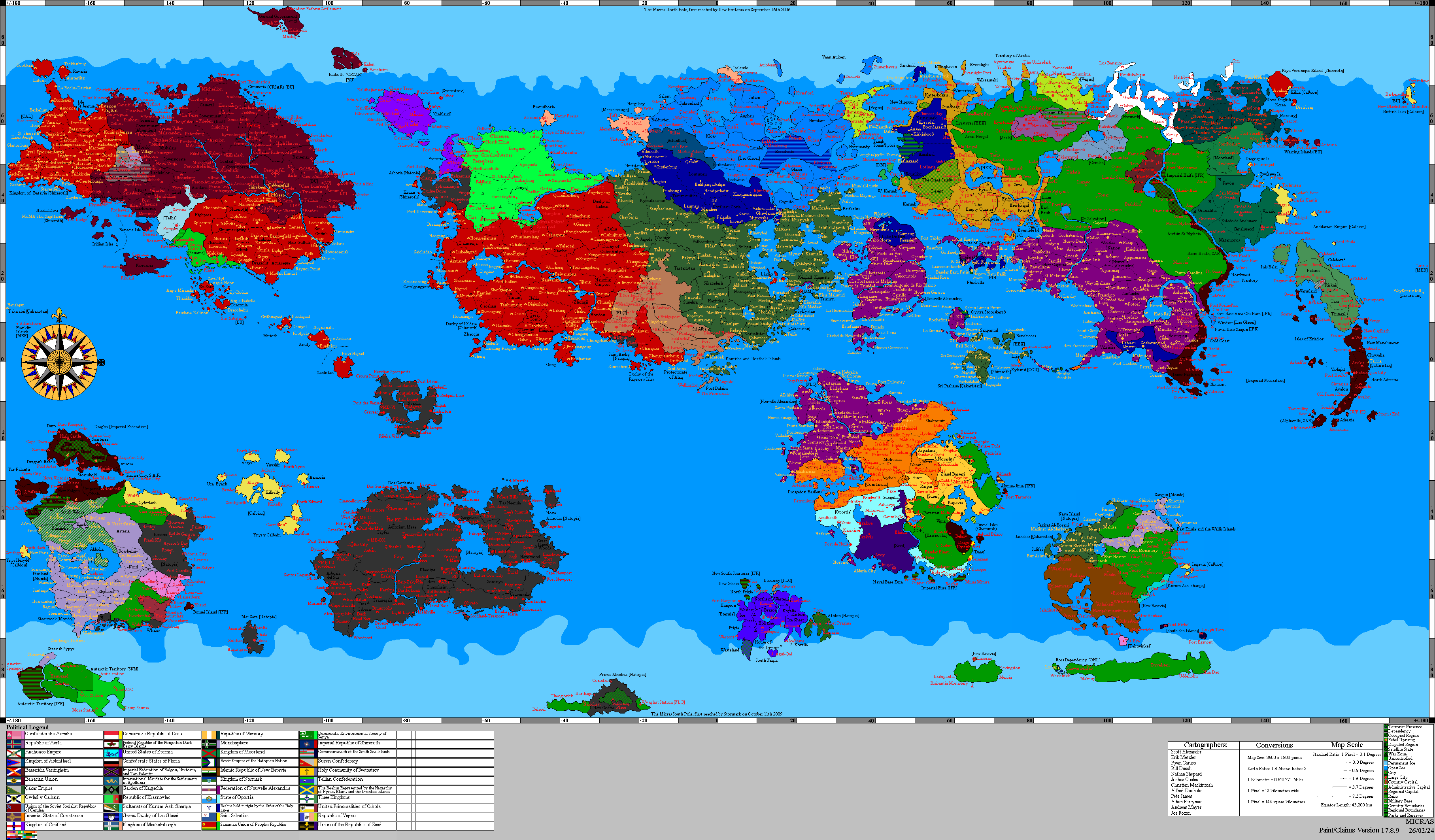
Tartaristan (Adarani: तातारिस्तान) is a subah (province) of Çakaristan, located in the southern part of the Thul Marusthal. It borders Pathaardesh and Vashigol to the north, Sikatadesh and Sunehra to the east, Shirerithian Kildare and Floria to the south, and Jaguda to the west. The capital is Bakuya.
Detailed map

List of places
List of place located in Tartaristan:
- Bakuya
- Bhadrasva
- Kervansarai
- Khabala
- Kumyurt
- Tartarvistar