Jaguda: Difference between revisions
From MicrasWiki
Jump to navigationJump to search
No edit summary |
No edit summary |
||
| Line 21: | Line 21: | ||
== Detailed map == | == Detailed map == | ||
[[Image:Jaguda detailed map.png|thumb|left|Detailed map of Jaguda | [[Image:Jaguda detailed map.png|thumb|450px|left|Detailed map of Jaguda]]{{clear|left}} | ||
=== List of places === | === List of places === | ||
Revision as of 18:42, 13 August 2026
| State of Jaguda जागुड | |||
| Governorate of Çakaristan | |||
| |||
| Subdivision | Governorate | ||
| Capital | Jeetliya | ||
| Largest cities | |||
| Area | 594,720 km2 | ||
| Population | 1,634,359 census of 1750 | ||
| Governor | |||
| Legislature | |||
| Languages | Babkhi, Qyzylqay | ||
| Time Zone | CMT-1 | ||
| Driving side | right | ||
|
| |||


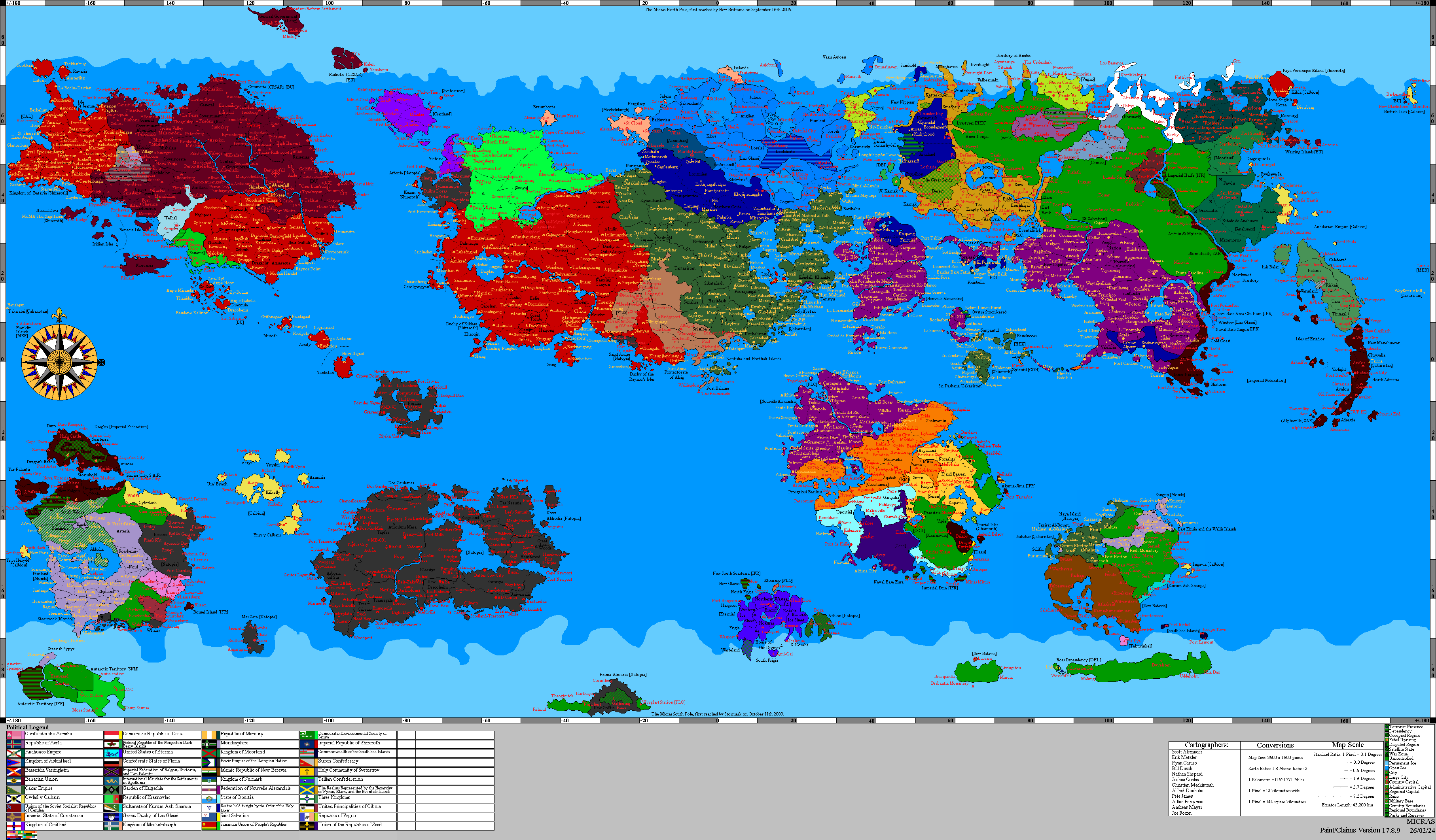
Jaguda, officially the State of Jaguda (Samsrumukhat: जागुड), is a governorate of Çakaristan, located on the Khelaq Pahade (Khelaq Mountains). It is bordered to the north by Kyazilkai, to the west and south by Shirerithian Kildare, to the east by Tartaristan and Vashigol.
Detailed map

List of places
List of place located in Jaguda:
- Alifa
- Aqsu
- Bozkurt
- Dayhan
- Garlyk
- Jeetliya
- Kairat
- Tengriqut
- Vilius
- Zangar