Maps of Çakaristan
From MicrasWiki
On this page all Maps of Çakaristan are collected.
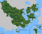
Detailed maps
Preview

Fragments
The detailed maps are fragments from a large map, with which the plan is to map all of Çakaristan. In doing so, the plan is to keep developing the map as the nation develops.


MCS styled maps
-
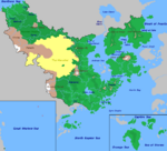
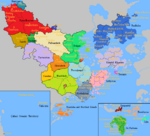
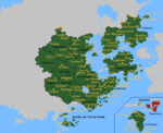
 Basic claimsmap
 -
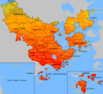 Climate map
 -
 Map of the driving side
 -
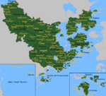
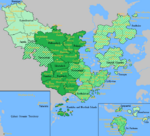
 Physical map of Çakaristan
 -
 Prime Meridian, antimeridian and Equator in Çakaristan
 -
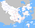 Map of railway lines
 -
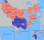
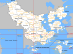
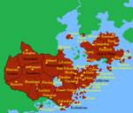
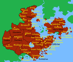
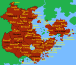
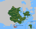
 Map of the states
 -
 Time zones in Çakaristan


Territory development
-
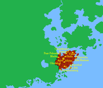 1688 AN
 -
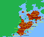
 1689 AN
 -
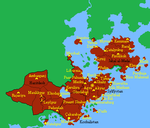
 1690 AN
 -
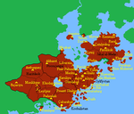
 1691 AN
 -
 1692 AN
 -
 1693 AN
 -
 1694 AN
 -
 1695 AN


-
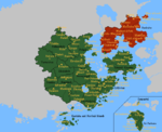
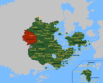 Sunehra and Tartaristan
 -
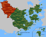
 Kantisha and Northak Islands
 -
 Barikalus
 -
 Beneluccas
 -
 Jaguda, Kyazilkai, Nuristan, Vashigol, West Pathaardesh and West Tartaristan
 -
 Kadim and Taka'atui


War maps
-
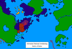 Map of the Battle of Shahr
 -
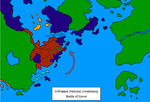
 Map of the Battle of Merku
 -
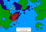 Map of the Run to the coast
 -
 Map of the Battle of Gevet
 -
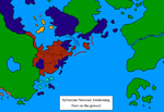 Map of Foot on the Ground
 -
 Map of the Soft Underbelly
 -
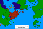 Map of the March to Tiegang
 -
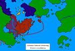 Map of the Western consolidation


| ||||||||||||||||||||||||||||||||||||||||||||||||||||||||||||||||||
