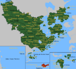
Maps of Çakaristan
From MicrasWiki
Jump to navigationJump to search
On this page all Maps of Çakaristan are collected.
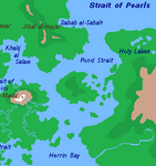
Detailed maps

Fragments
The detailed maps are fragments from a large map, with which the plan is to map all of Çakaristan. In doing so, the plan is to keep developing the map as the nation develops.


Legend

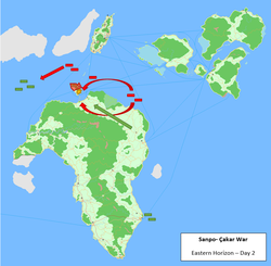
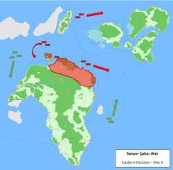
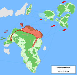
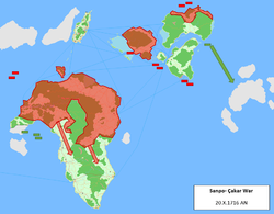
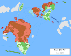
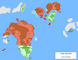
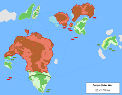
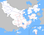
Maps of the Sanpo-Çakar War
-
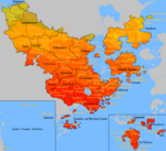
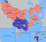
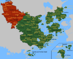
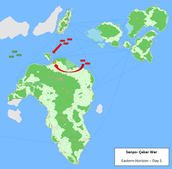 Red: Spider fleet
Green: Green fleet -
-
-
-
-
-
-


MCS styled maps
-
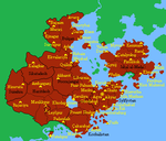
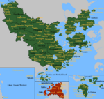
 Basic claimsmap
 -
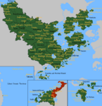
 Climate map
 -
 Map of the driving side
 -
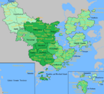
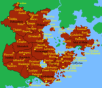
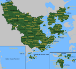
 Physical map of Çakaristan
 -
 Prime Meridian, antimeridian and Equator in Çakaristan
 -
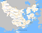
 Map of railway lines
 -
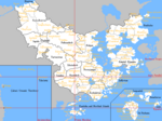
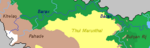
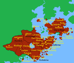
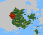
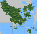
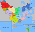 Map of the states
 -
 Time zones in Çakaristan
 -
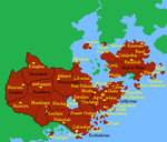
 Distribution of military districts
 -
 Map of the internment camps


Further subdivisions
-
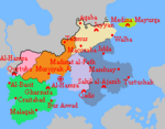 Subdivisions of Barikalus
 -
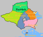 Subdivisions of Haritdesh
 -
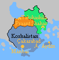 Subdivisions of Korhalistan
 -
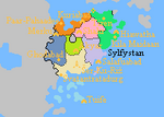 Subdivisions of Sylfystan


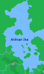
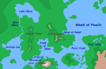
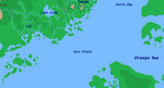
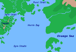
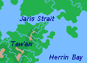
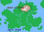
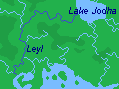
Geographical maps
-
-
 Barax river
 -
 Geographical map of Barikalus
 -
-
-
-
-
-


Territory development
-
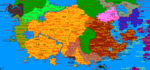
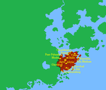 1688 AN
 -
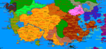
 1689 AN
 -
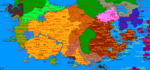
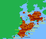 1690 AN
 -
 1691 AN
 -
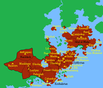
 1692 AN
 -
 1693 AN
 -
 1694 AN
 -
 1695 AN


-
 Sunehra and Tartaristan
 -
 Kantisha and Northak Islands
 -
 Barikalus
 -
 Beneluccas
 -
 Jaguda, Kyazilkai, Nuristan, Vashigol, West Pathaardesh and West Tartaristan
 -
 Kadim and Taka'atui
 -
 Rouge, Wayfarer Atoll and Tarria
 -
 Lija, West Sandwich Island and West Duras
 -
 Jazirat Al-Borani
 -
 Jaihabar
 -
 Northeastern Jaihabar
 -
 Jazirat Hintar
 -
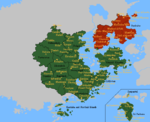
 Çexit: Leaving Corum, dismantling of Jaihabar
 -
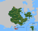
 Sanpantul independency
 -
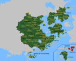
 Naudia'Diva


Maps of the Sylvanian National Awakening
-
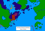 Map of the Battle of Shahr
 -
 Map of the Battle of Merku
 -
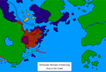 Map of the Run to the coast
 -
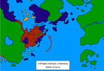 Map of the Battle of Gevet
 -
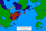 Map of Foot on the Ground
 -
 Map of the Soft Underbelly
 -
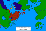 Map of the March to Tiegang
 -
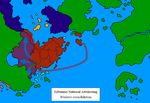 Map of the Western consolidation


Maps of Operation: Nae jeevan kee raksha
-
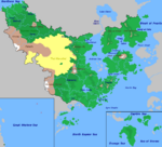
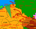 Green: Seishi triangle
Darkred: Çakari advance -
 Start of the operation
 -
 Northern wall
 -
 Eastern wall


| ||||||||||||||||||||||||||||||||||||||||||||||||||||||||||||||||||
