Tennyn: Difference between revisions
From MicrasWiki
Jump to navigationJump to search
No edit summary |
No edit summary |
||
| Line 9: | Line 9: | ||
|largecity = Hisn Mahmud | |largecity = Hisn Mahmud | ||
|area = 28,368 km<sup>2</sup> | |area = 28,368 km<sup>2</sup> | ||
|pop = | |pop = 101,766 <small>''[[Demographics of Çakaristan|census of 1750]]''</small> | ||
|headofgovt = Subahdar | |headofgovt = Subahdar | ||
|gov = | |gov = | ||
| Line 26: | Line 26: | ||
[[Image:Tennyn detailed map.png|thumb|left|Detailed map of Tennyn, click to enlarge]]{{clear|left}} | [[Image:Tennyn detailed map.png|thumb|left|Detailed map of Tennyn, click to enlarge]]{{clear|left}} | ||
List of place located in Tennyn: | |||
{{col-css3-begin|4}} | |||
* Fanbin | |||
* Fanjshuy | |||
* Hisn Mahmud | |||
* Huwayan | |||
* Jinyan | |||
* Rishuy | |||
* Shinglung | |||
{{col-css3-end}} | |||
{{Çakaristan nav}} | {{Çakaristan nav}} | ||
Revision as of 15:19, 18 April 2026
| Tennyn تنين | |||
| Subah of Çakaristan | |||
| |||
| Subdivision | Subah | ||
| Capital | Hisn Mahmud | ||
| Largest cities | Hisn Mahmud | ||
| Area | 28,368 km2 | ||
| Population | 101,766 census of 1750 | ||
| Subahdar | |||
| Legislature | |||
| Languages | Arboric | ||
| Time Zone | CMT+1:30 | ||
| Driving side | right | ||
|
| |||


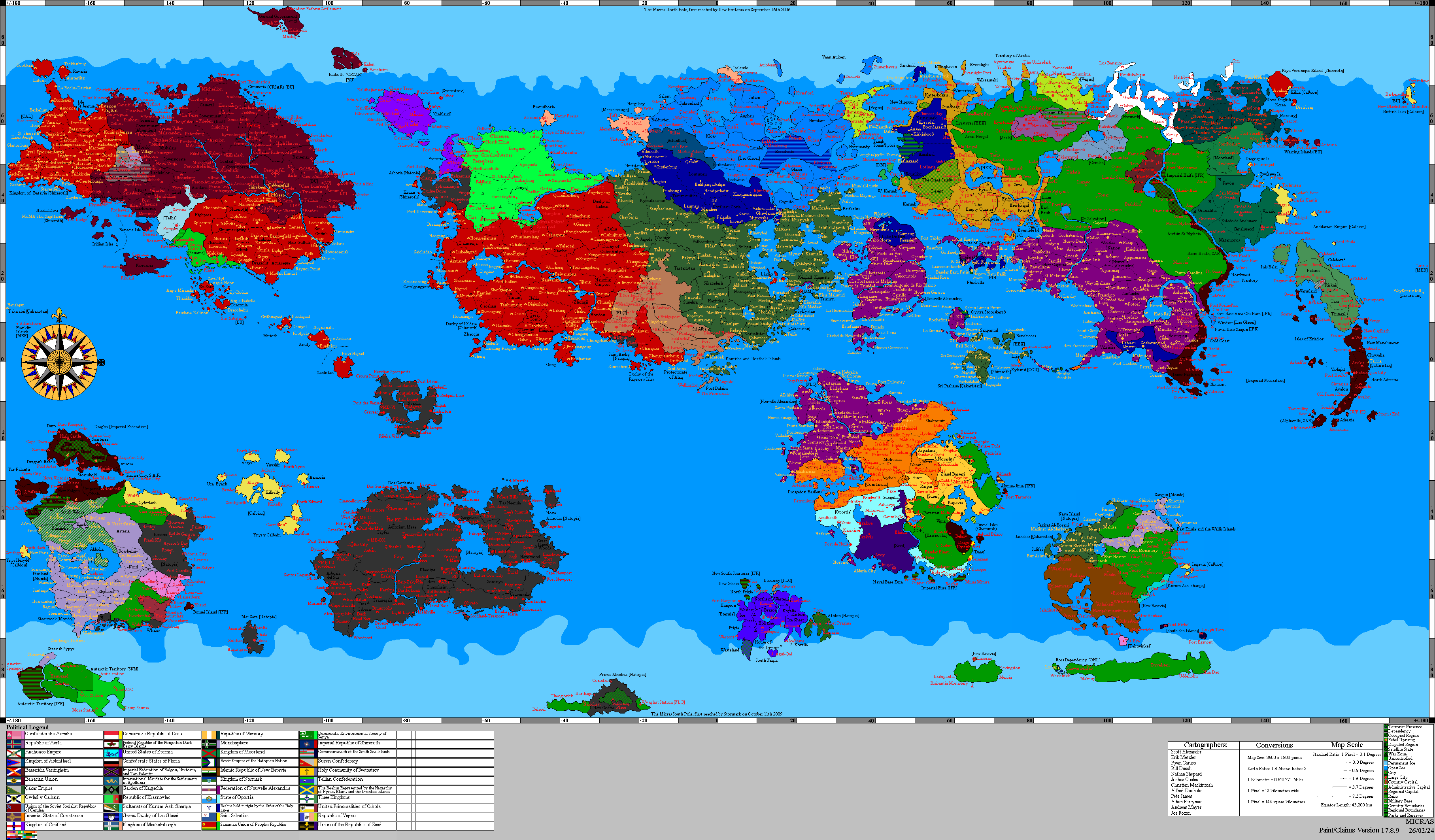
Tennyn (Arboric: تنين) is a subah of Çakaristan, located on the eponymous island. It was part of Kendall Khanate until 1715 AN; during the Great Apollonian Empire, the island was already its own subdivision under the name of its capital, Hisn Mahmud.
Etymology
The name "Tennyn" means dragon in Arboric, a reference to the long occupation by Jingdao. A Jing-styled dragon is depicted on the flag of the subah.
Detailed map

List of place located in Tennyn:
- Fanbin
- Fanjshuy
- Hisn Mahmud
- Huwayan
- Jinyan
- Rishuy
- Shinglung