Vashigol: Difference between revisions
From MicrasWiki
Jump to navigationJump to search
No edit summary |
No edit summary |
||
| Line 17: | Line 17: | ||
|drives_on = right | |drives_on = right | ||
}} | }} | ||
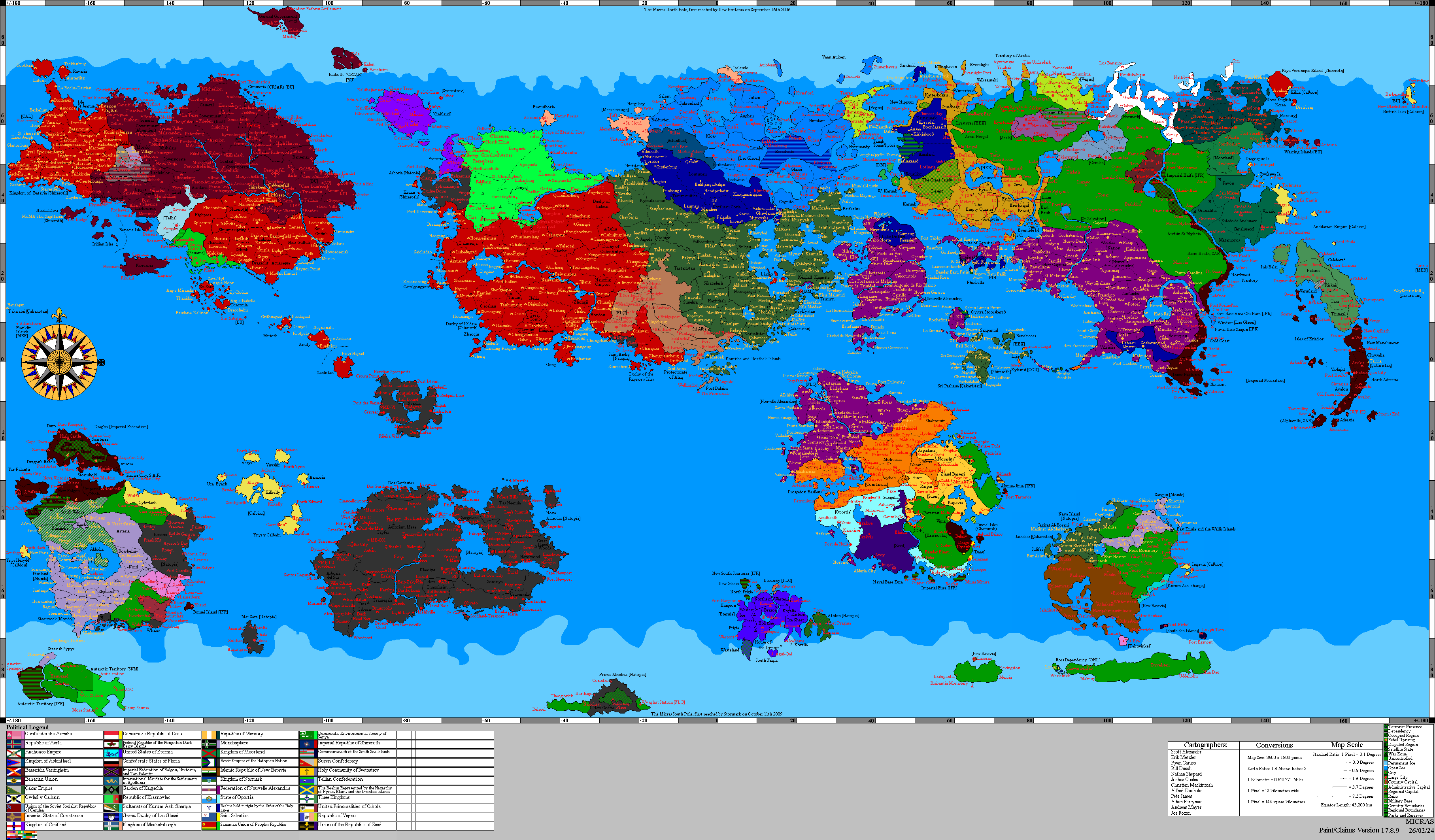
'''Vashigol''', officially the '''Vashigol Satrapy''' (Babhki: ساتراپی واشیگل), is a subah (province) of [[Çakaristan]], located in the westhern part of the [[Thul Marusthal]], the northern part of the [[Khelaq Mountains]] and the southern part of the Voreliya Pathaar. | '''Vashigol''', officially the '''Vashigol Satrapy''' (Babhki: ساتراپی واشیگل), is a subah (province) of [[Çakaristan]], located in the westhern part of the [[Thul Marusthal]], the northern part of the [[Khelaq Mountains]] and the southern part of the Voreliya Pathaar. It borders [[Kyazilkai]] to the north, [[Pathaardesh]] to the east, [[Tartaristan]] to the south and [[Jaguda]] to the west. | ||
== Detailed map == | == Detailed map == | ||
Revision as of 14:17, 18 April 2026
| Vashigol Satrapy ساتراپی واشیگل | |||
| Subah of Çakaristan | |||
| |||
| Subdivision | Subah | ||
| Capital | Aurbhe | ||
| Largest cities | Kusumapura | ||
| Area | 197,568 km2 | ||
| Population | 2,069,861 census of 1750 | ||
| Subahdar | Jaffar Aurangi bin Alsalam | ||
| Legislature | |||
| Languages | Babhki | ||
| Time Zone | CMT-1 | ||
| Driving side | right | ||
|
| |||


Vashigol, officially the Vashigol Satrapy (Babhki: ساتراپی واشیگل), is a subah (province) of Çakaristan, located in the westhern part of the Thul Marusthal, the northern part of the Khelaq Mountains and the southern part of the Voreliya Pathaar. It borders Kyazilkai to the north, Pathaardesh to the east, Tartaristan to the south and Jaguda to the west.
Detailed map

List of places
List of place located in Vashigol:
- Aryslankala
- Aurbhe
- Gulyurt
- Jazyurt
- Kumova
- Kusumapura
- Nurabad
- Shymkentvash
- Tashrabat
- Tauqorgon
- Tengrimazar
- Zharkentqala