Poorajangal: Difference between revisions
From MicrasWiki
Jump to navigationJump to search
No edit summary |
No edit summary |
||
| Line 9: | Line 9: | ||
|largecity = [[Keruliya]] | |largecity = [[Keruliya]] | ||
|area = 1,075,824 km<sup>2</sup> | |area = 1,075,824 km<sup>2</sup> | ||
|pop = | |pop = 61,287,157 <small>''[[Demographics of Çakaristan|census of 1740]]''</small> | ||
|headofgovt = Raja | |headofgovt = Raja | ||
|gov = [[Bharmal Amer]] | |gov = [[Bharmal Amer]] | ||
| Line 18: | Line 18: | ||
}} | }} | ||
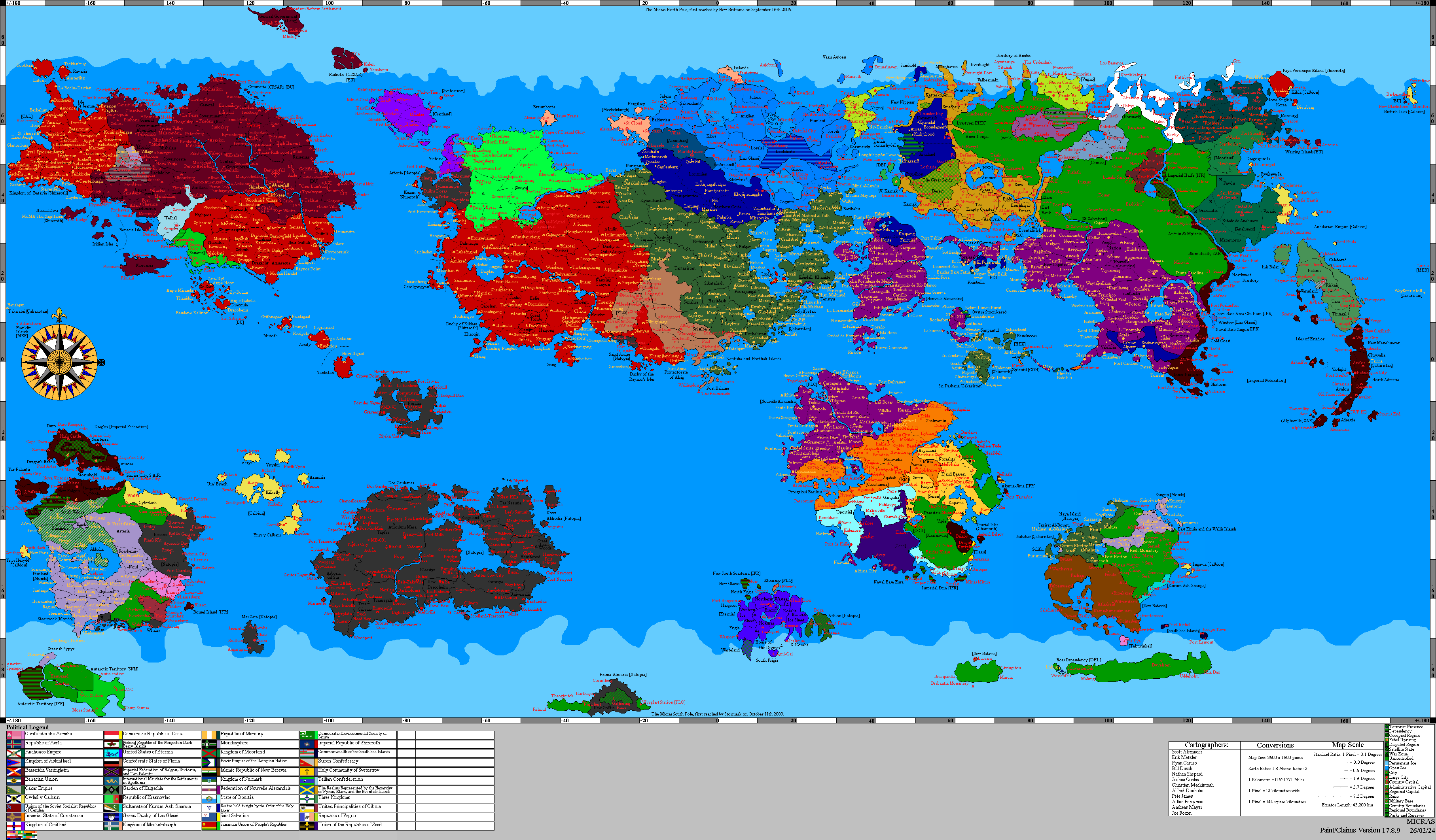
'''Poorajangal''', officially the '''Poorajangal Rajya''' (Adarani: पुरजांगल राज्य), is a riyasat (princely state) of [[Çakaristan]], located between the Saphed Pahade (White Mountain) and [[Lake Jodha]] in the west and the [[Green Border]] and the [[Antican Sea]] in the east. It borders [[Bulqan]] and [[Micabad]] to the north, [[Sylfystan]] and [[Korhalistan]] to the south-east and [[Haritdesh]] to the west. In 1689 AN the eastern part of the area was claimed and in 1693 AN the western part. | '''Poorajangal''', officially the '''Poorajangal Rajya''' (Adarani: पुरजांगल राज्य), is a riyasat (princely state) of [[Çakaristan]], located between the Saphed Pahade (White Mountain) and [[Lake Jodha]] in the west and the [[Green Border]] and the [[Antican Sea]] in the east. It borders [[Bulqan]] and [[Micabad]] to the north, [[Sylfystan]] and [[Korhalistan]] to the south-east and [[Haritdesh]] to the west. In 1689 AN the eastern part of the area was claimed and in 1693 AN the western part. | ||
== Etymology == | == Etymology == | ||
Revision as of 19:02, 22 June 2025
| Poorajangal Rajya पुरजांगल राज्य | |||
| Riyasat of Çakaristan | |||
| |||
| Subdivision | Riyasat | ||
| Capital | Liburnia | ||
| Largest cities | Keruliya | ||
| Area | 1,075,824 km2 | ||
| Population | 61,287,157 census of 1740 | ||
| Raja | Bharmal Amer | ||
| Legislature | |||
| Languages | Adarani | ||
| Time Zone | CMT+1 | ||
| Driving side | left | ||
|
| |||


Poorajangal, officially the Poorajangal Rajya (Adarani: पुरजांगल राज्य), is a riyasat (princely state) of Çakaristan, located between the Saphed Pahade (White Mountain) and Lake Jodha in the west and the Green Border and the Antican Sea in the east. It borders Bulqan and Micabad to the north, Sylfystan and Korhalistan to the south-east and Haritdesh to the west. In 1689 AN the eastern part of the area was claimed and in 1693 AN the western part.
Etymology
The name “Poorajangal” means ‘complete jungle’, a direct reference to the landscape of the princely state.
Detailed map