Maps of Çakaristan: Difference between revisions
From MicrasWiki
Jump to navigationJump to search
No edit summary |
No edit summary |
||
| Line 34: | Line 34: | ||
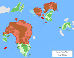
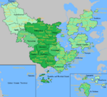
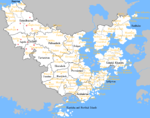
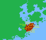
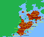
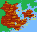
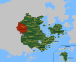
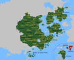
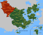
Image:SanpoCakarWar map05.png | Image:SanpoCakarWar map05.png | ||
Image:SanpoCakarWar map06.png | Image:SanpoCakarWar map06.png | ||
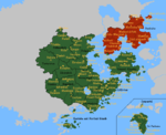
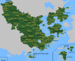
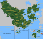
Image:SanpoCakarWar map07.png | |||
Image:SanpoCakarWar map08.png | |||
</gallery> | </gallery> | ||
| Line 48: | Line 50: | ||
Image:MapofCakaritimezones.png|Time zones in Çakaristan | Image:MapofCakaritimezones.png|Time zones in Çakaristan | ||
Image:MapofCakaristan MilitaryDistrics.png|Distribution of military districts | Image:MapofCakaristan MilitaryDistrics.png|Distribution of military districts | ||
Image:MapofCakaristanCamps1.png|Map of the internment camps | |||
</gallery> | </gallery> | ||
| Line 70: | Line 73: | ||
Image:Cakaristan1711.png|Jaguda, Kyazilkai, Nuristan, Vashigol, West Pathaardesh and West Tartaristan | Image:Cakaristan1711.png|Jaguda, Kyazilkai, Nuristan, Vashigol, West Pathaardesh and West Tartaristan | ||
Image:Cakaristan1712.png|Kadim and Taka'atui | Image:Cakaristan1712.png|Kadim and Taka'atui | ||
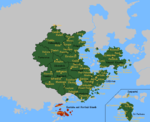
Image:Cakaristan1717.png|Rouge, Wayfarer Atoll and Tarria | |||
Image:Cakaristan1718.png|Lija, West Sandwich Island and West Duras | |||
</gallery> | </gallery> | ||
Revision as of 12:28, 21 March 2023
On this page all Maps of Çakaristan are collected.
Detailed maps
Preview
Fragments
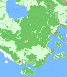
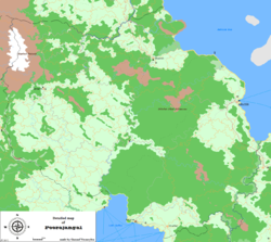
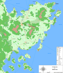
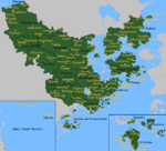
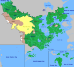
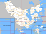
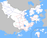
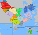
The detailed maps are fragments from a large map, with which the plan is to map all of Çakaristan. In doing so, the plan is to keep developing the map as the nation develops.
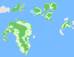
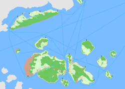
Çakari East Skerries: Beneluccas, Sanpantul and Sri Pashana
Legend
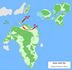
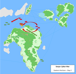
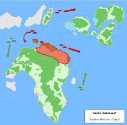
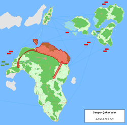
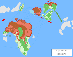
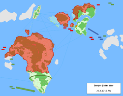
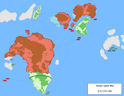
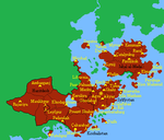
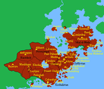
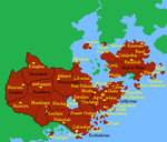
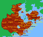
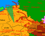
Maps of the Sanpo-Çakar War
MCS styled maps
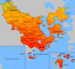
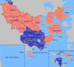
Territory development
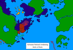
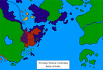
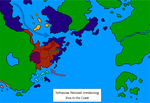
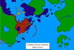
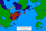
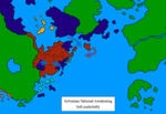
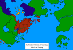
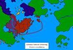
Maps of the Sylvanian National Awakening
Maps of Operation: Nae jeevan kee raksha
| |||||||||||||||||||||||||||||||||||||||||||||||||||||||||||||||||||||||

