Spitsbergen State: Difference between revisions
| Line 218: | Line 218: | ||
=== Climate === | === Climate === | ||
[[File:Köppen climate map of Spitsbergen State.svg|thumb|239x239px|[[Wikipedia:Köppen climate classification|Köppen climate classification]] in Spitsbergen State]] | |||
== Governance and politics == | == Governance and politics == | ||
Revision as of 14:17, 29 July 2026

|
This article or section is a work in progress. The information below may be incomplete, outdated, or subject to change. |
| Spitsbergen State Negeri Spitsbergen (Phineaner) Official regional names
|
|||||||||||||||||||
|---|---|---|---|---|---|---|---|---|---|---|---|---|---|---|---|---|---|---|---|
| Territory of Phinbella | |||||||||||||||||||
| Territory and State of Spitsbergen 全羅道と州 · Zenra-dō to shū Wilayah dan Negeri Spitsbergen Spitsbergen Special Self-Governing Territory 全羅特別自治道 Wilayah Pemerintahan Sendiri Khas Spitsbergen |
|||||||||||||||||||
| Other transcription(s) | |||||||||||||||||||
| • Jawi | نڬري سڤيتسبرڬن | ||||||||||||||||||
| • Taesongean | 전라주 (Hangul) Jeolla-ju (Revised Romanization) |
||||||||||||||||||
| • Eeshan | ஸ்பிட்ஸ்பெர்கன் மாநிலம் Spitspergan Maanilam (Transliteration) |
||||||||||||||||||
| • Sangunese | 全羅州 Zenra-shū |
||||||||||||||||||
| Taesongean transcription(s) | |||||||||||||||||||
| • Hangul | 전라특별자치도 | ||||||||||||||||||
| • Hanja | 全羅特別自治道 | ||||||||||||||||||
| • McCune‑Reischauer | Chŏlla T'ŭkpyŏl Chach'ido | ||||||||||||||||||
| • Revised Romanization | Jeolla Teukbyeol Jachido | ||||||||||||||||||
|
|||||||||||||||||||
| Nickname(s): Phineonesian Argentine | |||||||||||||||||||
| Anthem: Three Principles of the People | |||||||||||||||||||
 |
|||||||||||||||||||
| Sovereign realm |  Phinbella |
||||||||||||||||||
| Political division | Free area of the Federation | ||||||||||||||||||
| Geograpical region | Tempasuk | ||||||||||||||||||
| First settlement | 1748 AD | ||||||||||||||||||
| Shintarian rule | -116BP | ||||||||||||||||||
| Part of the Oriental Taemhwan | -4BP-1725 AN | ||||||||||||||||||
| Transfer from Oriental Taemhwan | 17.V.1725 AN | ||||||||||||||||||
| Capital (and largest city) |
Saporok | ||||||||||||||||||
| Official languages | 4 languages | ||||||||||||||||||
| Ethnic groups (1759 AN) |
|
||||||||||||||||||
| Demonym | Spitsbergenese | ||||||||||||||||||
| Government | Dominant-party Parliamentary representative democracy territory within a federal republic | ||||||||||||||||||
| • Governor | TBA | ||||||||||||||||||
| • Chief Minister | TBA | ||||||||||||||||||
| Legislature | Legislative Assembly | ||||||||||||||||||
| Parliament of Phinbella | |||||||||||||||||||
| • House of Senate | 2 deputy | ||||||||||||||||||
| • House of Majilis | 20 deputy | ||||||||||||||||||
| Area | |||||||||||||||||||
| • Total | 1,682 km2 (649 sq mi) | ||||||||||||||||||
| Elevation | −101 m (−331 ft) | ||||||||||||||||||
| Highest elevation | 2,117 m (6,946 ft) | ||||||||||||||||||
| Time zone | CMT+05:20 (PPT) | ||||||||||||||||||
| Date format | dd.mm.yyyy | ||||||||||||||||||
| Driving side | left | ||||||||||||||||||
| Calling code | +840 54 | ||||||||||||||||||
| Postal code | 132xxx to 137xxx | ||||||||||||||||||
| MOS-1 code | PH-SP | ||||||||||||||||||
| Internet TLD | .phi | ||||||||||||||||||
| Vehicle registration | SP | ||||||||||||||||||

Spitsbergen State (Phineaner: Negeri Spitsbergen), shortly as Spitsbergen[3], colloquially known as Zenra State (Sangunese: 全羅州, translit.: Zenra-shū?, pronounced [ˈzẽ̞ɴˈɾaˈɕɨː], locally also [ˈzeɴˈʁaˈɕɯː]) or Zenra[4], officially the Territory and State of Spitsbergen (Sangunese: 全羅道と州, translit.: Zenra-dō to shū?, Phineaner: Wilayah dan Negeri Spitsbergen), and also known as the Special Self-Governing Territory of Spitsbergen, is a territory of Phinbella and an archipelago located south of the Ieu'ryïan Strait. Spitsbergen State is bordered by Politama to the southeast and the Scattered Islands to the northeast, and by the Captive Sea to the south. The archipelago covers an area of 1,682 square kilometres (650 sq mi) consisting of four main islands and 394 islets with mountain ranges dominating one-third of the main island area and plains over two-thirds of the area, where the highly urbanized population is concentrated. The state capital and the economic centre is Saporok, historically known for its tin mining activities until the price of the metal fell, which severely affected the state's economy, and Spitsbergen State is divided into four collectivities.
Spitsbergen State exists as a remarkable cultural crossroads, sharing an almost identical cultural fabric with the Scattered Islands and the Oriental Taemhwan, while maintaining deeply entrenched economic, social, and political ties to the mainland of Tempasuku. The earliest recorded human presence within the archipelago dates back to 1648 AD, as the islands were previously uninhabited until the ancestors of Spitsbergenese indigenous peoples settled the island around 1,200 years ago, and was discovered by a group of explorers from the Forajasaki proper before continuing on to Shintaro. While these islands were start inhabited again by the outlanders with the first outlander settlement in 1776 AD by Phineaner explorers from Forajasaki on the coast of the archipelago, followed by waves of Bajau Samah migration from the Tempasuk region in the coastal area and Sungoi from Sikin in the inland area. The state has its roots in Shintarian colonisation of the region which began in -116BP. Intriguingly, this colonial epoch was characterized not by a mass migration of ethnic Shintarians, but rather by a vast, carefully orchestrated large-scale immigration of Westerners, mainly Germanians, Tellians, Alexandrians, Sangunese and Afrikaners, began under Shintarian colonization rather than Shintarians, followed by several subsequent waves of Westerner immigration, which influenced the culture and demographics of the archipelago. As Western influences took root, the islands simultaneously experienced significant demographic shifts from neighboring regional populations. During this same expansive period, the archipelago welcomed substantial migration waves of Phineaners from Shintaro and Barbar, Betawi, and various other indigenous ethnic groups. The Shintarian government formally granted autonomous status to the Spitsbergen archipelago through Declaration of Mengkabong on October 10, -54BP, and there were important events such as the Spitsbergen Boer War in the -60BPs to -40BPs. Decades later, shifting geopolitical dynamics across the region brought about a new chapter in the territory's governance. In -4BP, Spitsbergen State was integrated under the authority of the Oriental Taemhwanian authorities, transitioning into a province endowed with a high degree of internal autonomy and control of the archipelago continued until 1725 AN when the islands were separated from Oriental Taemhwan and admitted to the federation in the on 17.V.1725 AN. Spitsbergen State was subsequently formed as a new state in Phinbella and subsequently made a territory with special self-governing status.
Spitsbergen State is ethnically, culturally and linguistically diverse. However, Spitsbergen State is the most Westernized state in Phinbella due to the massive migration waves of Westerners in this archipelago, compared to some of the Phinbellan territories or states which tend towards a more Phineaner or Eurphineonesian culture. The head of state is the governor, also known as the Yang di-Pertua Negeri, and the head of government is the Chief Minister and his cabinet. The state government is closely modeled on the Brettish parliamentary system, with the state administration divided into administrative districts. The economy is mainly based on services and manufacturing. Spitsbergen State is one of the most developed states in Phinbella and the second most developed in the Tempasuku region after the Scattered Islands. From the early -20BPs, Spitsbergen at the Taemhwanian period witnessed rapid economic and industrial growth known as the "Patagon Miracle", the state experienced a booming economy and one of the fastest increases in average GDP per capita in Taemhwanian history. In addition to the Scattered Islands state, the Spitsbergen archipelago is also home to several large conglomerates that have become economic catalysts throughout Phinbella. From the RP 2610s to the RP 2620s, Spitsbergen State is one of the states or territories in the Free area of the Federation known for its nationally (sometimes intercontinentially) influential pop culture, particularly in Kéijō-pop music and Creole drama along with the Scattered Islands, Tri-State Area, as well as Taemhwanian Sangunese-speaking area, and became the second to publish and export Taemhwanian pop culture content. The official languages in the state are four: Istvanistani, Sangunese, Yapreayan and Afrikaans, while other languages are given special status in the state and are widely spoken.
Etymology
History
Pre-historic 800 AD–-116BP
Shintaro -116BP--4BP
Oriental Taemhwan -4BP–1725 AN
Pre-colonial period

The archipelago were first inhabited around 1,200 years ago, the first settlers were the ancestors of the indigenous people of Spitsbergen State, the indigenous people of Spitsbergen State was the originator of the Transteyvatphineonesian language family and are culturally distinct from the general Phinbellan aborigines, who consisted of Proto-Phineaners, Senoi and Dromoskers. However, the indigenous people of the archipelago have cultural ties to the Proto-Phineaners, but have little genetic relationship with the indigenous Inazuman people, especially the Jōmon people who also migrated to the mainland of the Cyber-Island Chain. The indigenous people of the archipelago also spread to the Scattered Islands and the Ssamaritan Islands, although other studies have shown no genetic contribution from the indigenous people of the archipelago to the population of the Scattered Islands due to mass migration. The indigenous people of the archipelago are skilled in agriculture, especially slash-and-burn farming, which was established long ago.
Around 1,200 years ago, the Spitsbergen Archipelago was inhabited by farmers of the Kigilaman culture, most likely from what is now eastern Phineonesian. Trade with the mainland and with other islands continued from the early 1410s, including the use of Argentus jades. The Spitsbergen plain indigenous people mostly lived in permanent walled villages, with a lifestyle based on agriculture, fishing, and hunting. They traditionally had matriarchal societies, with a few tribes practicing patriarchy.
Until the Shintarian colonization period, the Spitsbergen Archipelago, despite its small area, was sparsely inhabited by a diverse range of cultures with different social organizations, which can be divided into three main groups. The first group were basic hunters and gatherers without pottery development such as the Yao and Imil tribes in the extreme south. The second group were advanced hunters and gatherers such as the Thao, Sradi and Psou in the central east; and the Rukan in the south, all of whom were conquered by the Bununan who had spread from the Ssamaritan Islands, and the Qom, Kaidagelan and Kavalan in the north. The last group were farmers with pottery such as the Hebi, Truku and Sawaziti in the northeast, with a semi-sedentary slash-and-burn existence; the advanced and inactive Dazeh trading culture in the northwest; and the Taivoran, Hênîzan and Trobîavan in the central west, who had a culture that raised cattle and goats.
In 1648, a group of explorers from Barine discovered the archipelago and anchored on the largest island in the archipelago. They saw that the archipelago had snowy mountains, although it had been inhabited for a long time and was small in area. They named the archipelago as Kepulauan Puncak Gunung (Pointed Mountains Islands) but it was renamed through translation, so they explored the snowy mountains before continuing their voyage to Shintaro. The naming of the archipelago is still a matter of debate among Phineonesian historians because it has similarities to Nod-Krai archipelago in Euran States region which uses a name in the Jääkieli language, while the name of this archipelago is in the Batavian language.
Colonial era
Westerner immigration wave
Boer states in Spitsbergen
Declaration of Mengkabong
Taemhwanian and post-Taemhwanian period
Geography
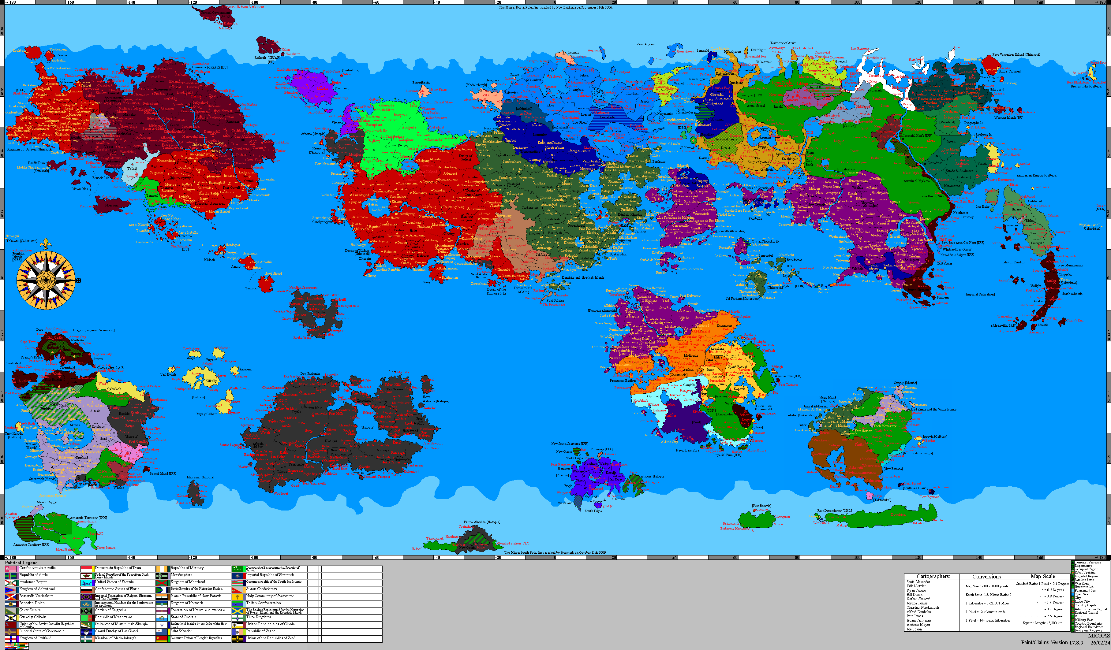
Spitsbergen Archipelago consists of six main islands namely Byōki, Patagon, Kaminari, Celebration, Kuma and Ashita, and a number of other small islands including Pampas, Usukan Besar, Usukan Kecil, Freedom, Zō, Tako, Minami and others with a total area of 1,682 square kilometers. Spitsbergen State is the fourth smallest territory in Phinbella after the Scattered Islands, Politama and the Province Wellesley. Patagon Island is the largest island in this archipelago which has housed the state's capital, Saporok. Spitsbergen is located south of the Ieu'ryïan Strait and is about 75 kilometers southeast of Politama through the Plata Strait and is estimated to be about 160 kilometers northeast of the Glorioso (Karenkō) Islands. The Captive Sea is to the south and the Ieu'ryïan Strait is to the north of the archipelago. These islands have a coastline of 648.3 kilometers.
The highest point of Spitsbergen State is Mount Aconcagua on Patagon Island at 2,117 metres (6,946 ft) above sea level, also the highest point in the Tempasuk region and among the outlying islands of Phinbella. The lowest point is Laguna del Stellaland in the Mengkabong island group at −101 metres (−331 ft) below sea level, also the lowest point in the Tempasuk region, and the seventh lowest point in Phinbella.
The northernmost and westernmost points are located on Katsuyami Island; the southernmost point is Sembirai Island in the Minami island cluster; and the easternmost point is located at Conception Atoll.
Although it is the fourth smallest state, Spitsbergen State contains four terrestrial ecoregions: the Tempasuk lowland grasslands on the coast, the Ieu'ryïan Strait Islands (which also include the Scattered Islands), the Spitsbergen subpolar forest in the mountains, and the Patagonian subtropical evergreen forest in the interior. The mountains on Patagon and Byōki Islands are forested and home to a wide variety of wildlife, while land use in the coastal lowlands is intensive.
The coastal areas of the state are the most densely populated and often used for farming, and are usually dotted with scattered settlements and towns.
Climate

Governance and politics
Executive
Legislature
Administrative divisions
Economy
Tourism
Transport
Energy
Science and technology
Demographics
Ethnic groups
Languages
Religion
- TBA (100%)
Education
Health
Culture
Literature
Music
Theatre and cinema
Mass media
Cuisine
Sport
State symbols
Calendar
Notes
- ^ also called as Metis Spitsbergenese
- ^ Consists of Sangunese, Taesongean, Jingdaoese, Sino-Keltians and other Keltians
- ^ Batavian: [ˈspɪtsˌbɛr.ɣə(n)]; Afrikaans: [ˈspɪtsˌˈbɛːʁ.ɡən]; Germanian: Spitzbergen; French-Alexandrian: Spitzberg; Modern Hebrew: שפיצברגן lit. Shpitzbargen [ʃpit͡sˈbɛrɡen]; Calbic: (y) Copa Mynydd [ə ˈkɔpa ˈmənɨð].
- ^ Sangunese: 全羅 pronounced [ˈzẽ̞ɴˈɾa]; locally also [ˈzeɴˈʁa]