| Territories
|
| Flag
|
Territory
|
Capital
|
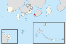
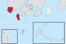
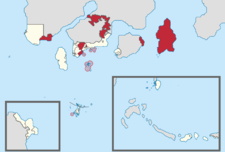
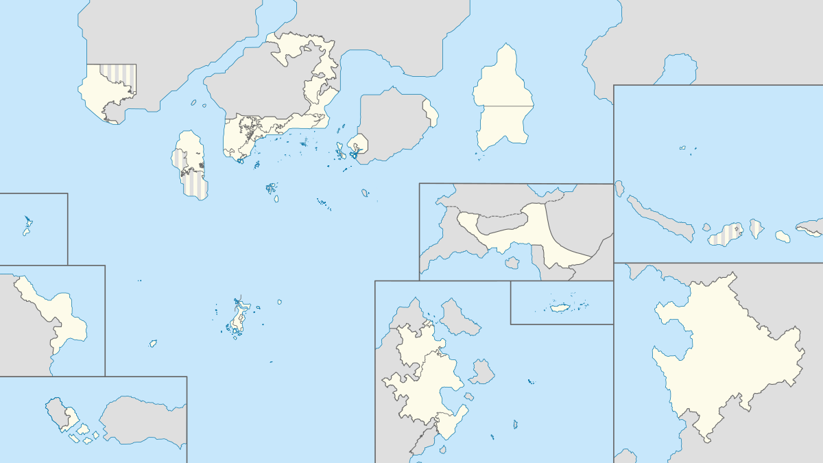
Location
|
Time zone(s)
|
|
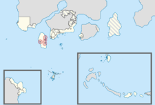
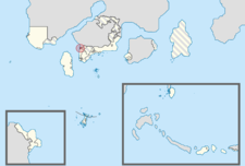
Kamoveropo |
Serambi |
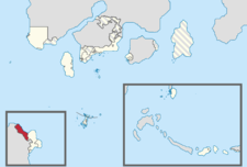 |
UTC+8
|
|
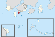
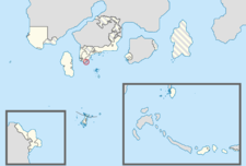
Westorney |
Deranik |
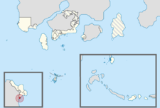 |
UTC+8
|
|
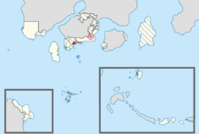
Territory of Libertador General Bernard O'Higgins |
Kebun Limau Purut |
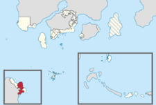 |
UTC+8
|
|
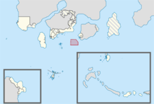
Oriental Digital Sebelah |
Indrakonur de Phinbella |
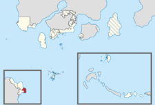 |
UTC+8
|
|
Nabor Klafterschaft |
Naborstadt |
 |
UTC+9:20
|
|
Halim |
N/A |
 |
UTC+8
|
|
Sixty-Four Villages Eastern Islands |
Kodaira Honcho West |
 |
UTC+9:20
|
|
Territory of Soccsksargen |
Pondok Chabai |
 |
UTC+8
|
|
Pinnacle Strip and SSS Islands |
Liancourt Rocks/Pohon Batu |
 |
UTC+8
|
|
Territory of Kelavit Highlands |
Kelavit Highlands |
 |
UTC+8
|
|
Territory of Flower |
Bandar Baru Fatin |
 |
UTC+8
|
|
Orange Free State |
Tanah Rata |
 |
UTC+8
|
|
Territory of Centralotus |
Kampung Raja |
 |
UTC+9:20
|
|
Coastal Nations, Nationalities, and Peoples' Territory |
Penarik |
 |
UTC+9:20
|
|
Province Wellesley and Suyaj-Ardab |
Kota Iskandar |
 |
UTC+9:20
|
|
Territory of Politama |
Politama |
 |
UTC+9:20
|
|
Islands of Dong Ping |
Port Weld |
 |
UTC+9:20
|
| Autonomous Territories
|
| Flag
|
Territory
|
Capital
|
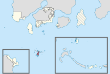
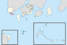
Location
|
Time zone(s)
|
|
Cyberaya Special Self-Governing City |
Downtown Cyberaya |
 |
UTC+8
|
|
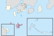
Tri-State Area of Mutiara Makmur |
Danville |
 |
UTC+9:20
|
|
Territory of Western Nijima |
Ever Grande |
 |
UTC+9:20
|
|
Carey Islands and New Territories |
Negara Awan |
 |
UTC+8
|
|
Territory of Kota Hilir |
Kota Hilir |
 |
UTC+8
|
|
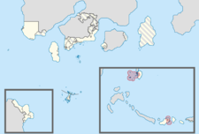
Nan'yōk Islands |
Longyearbyen Atoll |
File:Ph-NN Map.png |
UTC+12
|
| Self-Governing Territories
|
| Flag
|
Territory
|
Capital
|
Location
|
Time zone(s)
|
|
Maritime Kachi Kochi |
San Furansōkyō |
 |
UTC+8
|
|
Territory of Extraterritorial Authority of the Refugee Camp and Immigrant Settlements Area |
Phinéas Padolski |
 |
UTC+9:20
|
|
Straits Settlements |
Springwind Islands |
 |
UTC+9:20
|
| Dependent Territories
|
| Flag
|
Territory
|
Capital
|
Location
|
Time zone(s)
|
|
People's Corridor Territory of Permata Mutiara |
Batu Sepoy |
 |
UTC+8
|
|
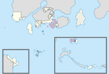
Ross Dependency |
Lojing |
File:Ph-RD Map.png |
UTC+9:20
|
| Sovereign Occupation
|
| Flag
|
Territory
|
Capital
|
Location
|
Time zone(s)
|
|
Niuē i Taman Lawang |
Port Impregnable |
 |
UTC+9:20
|
|
Oriental Hispanioéire Srieapska |
Ҭvuҟovarь |
 |
UTC+8 (Hōkaïdán, Judea and Nán'yō, and western part of Mainland)
UTC+9:20 (Kéijō, Spitsbergen and eastern part of Mainland)
|


