Anglien: Difference between revisions
No edit summary |
No edit summary |
||
| Line 2: | Line 2: | ||
|fullname = Free Duchy of Anglien | |fullname = Free Duchy of Anglien | ||
|commonname = Anglien | |commonname = Anglien | ||
|flag = | |flag = File:Anglien flag.png | ||
|coa= | |coa= | ||
|motto = | |motto = | ||
Revision as of 06:32, 26 March 2026
| Free Duchy of Anglien | ||
| ||
| Capital | Johannsessbuurg | |
| Largest city | Bergbuurg
| |
| Official language(s) | Crandish language (Anglo-Saksen as a minority language) | |
| Demonym | Anglian(s) | |
| - Adjective | Anglian | |
| Government | realm of the Order of the Holy Lakes | |
| - Duke | Edgard III
| |
| Establishment | 1754 (as independent country)
| |
| Population | 606,938 (1752)
| |
| Time zone(s) | CMT+1 | |
| Driving side | right
| |

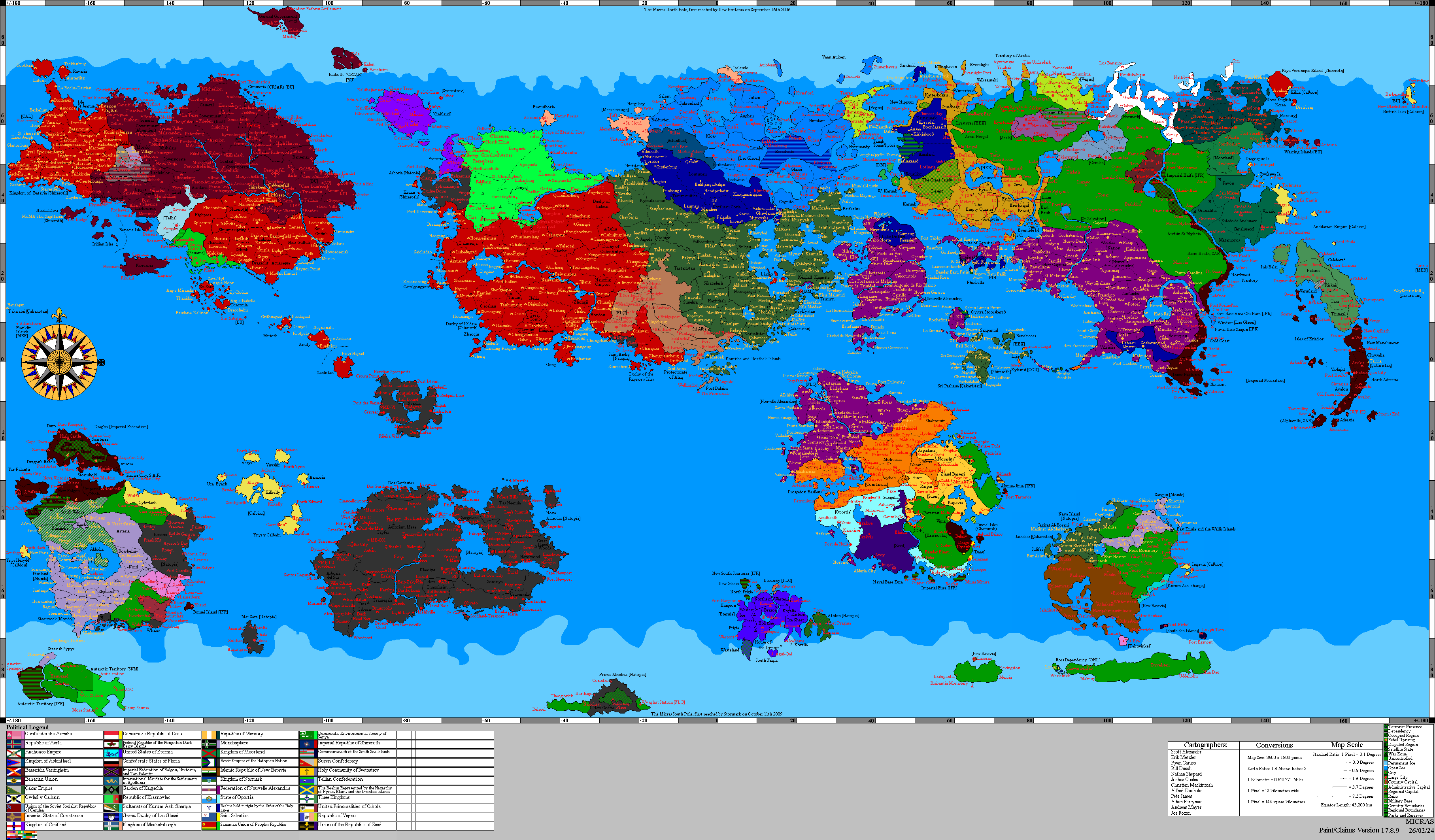
Anglien (Anglo-Saksen: Anglia; Arminian: Anglye) is a former Crandish and Arminian duchy and Lac Glaceian canton that since 1754 is an independent country.
History
The earliest polity known to call itself the Anglish tribes first appeared on the northeastern shores of Lyrica, just southeast of Hurmu. These early people were mostly fishermen with coastal settlements that banded together for common defense. They acquired the name of Anglies from their habit to catch and sell angelfish to the other early tribes of Lyrica, including a very early Hurmu. The angelfish eventually became the heraldic symbol of Anglien. They kept the peace with Hurmu but warred frequently with the neighboring Baltish tribes in the west. Around 1493 AN they were pushed out by the Juttish tribes and migrated north onto mainland Apollonia, eventually displacing the Purple Islanders along the Clear Sea. The Dukes of Anglien eventually joined with other nearby tribes and formed Cranda, which later would expand into behemoth of Arminy.
- 1510: Ceded to Alexandria upon the dissolution of Cranda.
- 1514: Alexandria lost sovereignty over the Duchy due to the Atkins Reduction of sovereignty across the planet
- Novatainia and Tokidoki (Toketi) begin taking over the area
- 1627: Gralus (the union of Novatainia and Toketi) folded. Anglien brought into the Green.
- 1628: Brought under the sovereignty of Alexandria in accordance with the Treaty of the Clear Sea.
- 1651–1652: Ravaged by the Alexandrian Flu, killing 70–90% of its population. Dissolution of the Alexandrian empire. Since then, the duchy became part of the Green.
In 1707, Anglien came under the newly established Anglo-Saksen Commonwealth, a polity that existed until 1713 when it merged into the Grand Duchy of Lac Glacei.
In 1754, the Grand Duke of Lac Glacei recognized Edgard III as Duke of Anglien and sovereign of the territory.
Geography
Anglien is bounded in the east by the Jutien, and on the southeast by the Condominium of Eesdeheito, a joint territory of Hurmu and Lac Glacei. Anglien is bounded to the west by the Clear Sea, and to the northwest by the Straits of Artsessdun.
Its major settlements are Bergbuurg, and Johannsessbuurg.
Former Dukes
- 1510–????: Edgard I (sovereign duke, Emperor of the Alexandrians)
- ????–1658: Edgard II (sovereign duke, Emperor of the Alexandrians)
- 1658–1737: Francis Joseph IV (Duke of Anglien, titular, never renounced)
- 1737–present: Edgard III (titular duke)