Adarma: Difference between revisions
mNo edit summary |
No edit summary |
||
| Line 9: | Line 9: | ||
|- | |- | ||
|colspan=2 align=center | [[Image:Adarma in Gerenia.png|250px|Location of Adarma|frameless]] | |colspan=2 align=center | [[Image:Adarma in Gerenia.png|250px|Location of Adarma|frameless]] | ||
|-class="mergedtoprow" | |||
|align=left |'''Established''' ||align=left | 11 August 2012 | |||
|-class="mergedtoprow" | |-class="mergedtoprow" | ||
|align=left |'''Capital''' ||align=left | [[Tawlkar (city)|Tawlkar]] | |align=left |'''Capital''' ||align=left | [[Tawlkar (city)|Tawlkar]] | ||
| Line 18: | Line 20: | ||
|align=left | - Adjective ||align=left | Adarman | |align=left | - Adjective ||align=left | Adarman | ||
|-class="mergedtoprow" | |-class="mergedtoprow" | ||
|align=left |'''Area''' ||align=left | | |align=left |'''Governor''' ||align=left | Ims Sanlorä ([[Independent Party of Gerenia|IPG]]) | ||
|-class="mergedtoprow" | |||
|align=left |'''Area''' ||align=left | 126,072 km² | |||
|-class="mergedrow" | |-class="mergedrow" | ||
|align=left | - Ranked ||align=left | 2nd | |align=left | - Ranked ||align=left | 2nd | ||
|-class="mergedtoprow" | |-class="mergedtoprow" | ||
|align=left |'''Population''' ||align=left | 1, | |align=left |'''Population''' ||align=left | 1,168,323 (2017) | ||
|-class="mergedrow" | |-class="mergedrow" | ||
|align=left | - Ranked ||align=left | 3rd | |align=left | - Ranked ||align=left | 3rd | ||
|-class=" | |-class="mergedrow" | ||
|align=left |'''Density''' ||align=left | | |align=left |'''Density''' ||align=left | 9.27/km² | ||
|-class="mergedtoprow" | |-class="mergedtoprow" | ||
|align=left |'''Abbreviation''' ||align=left | AD | |align=left |'''Abbreviation''' ||align=left | AD | ||
|} | |} | ||
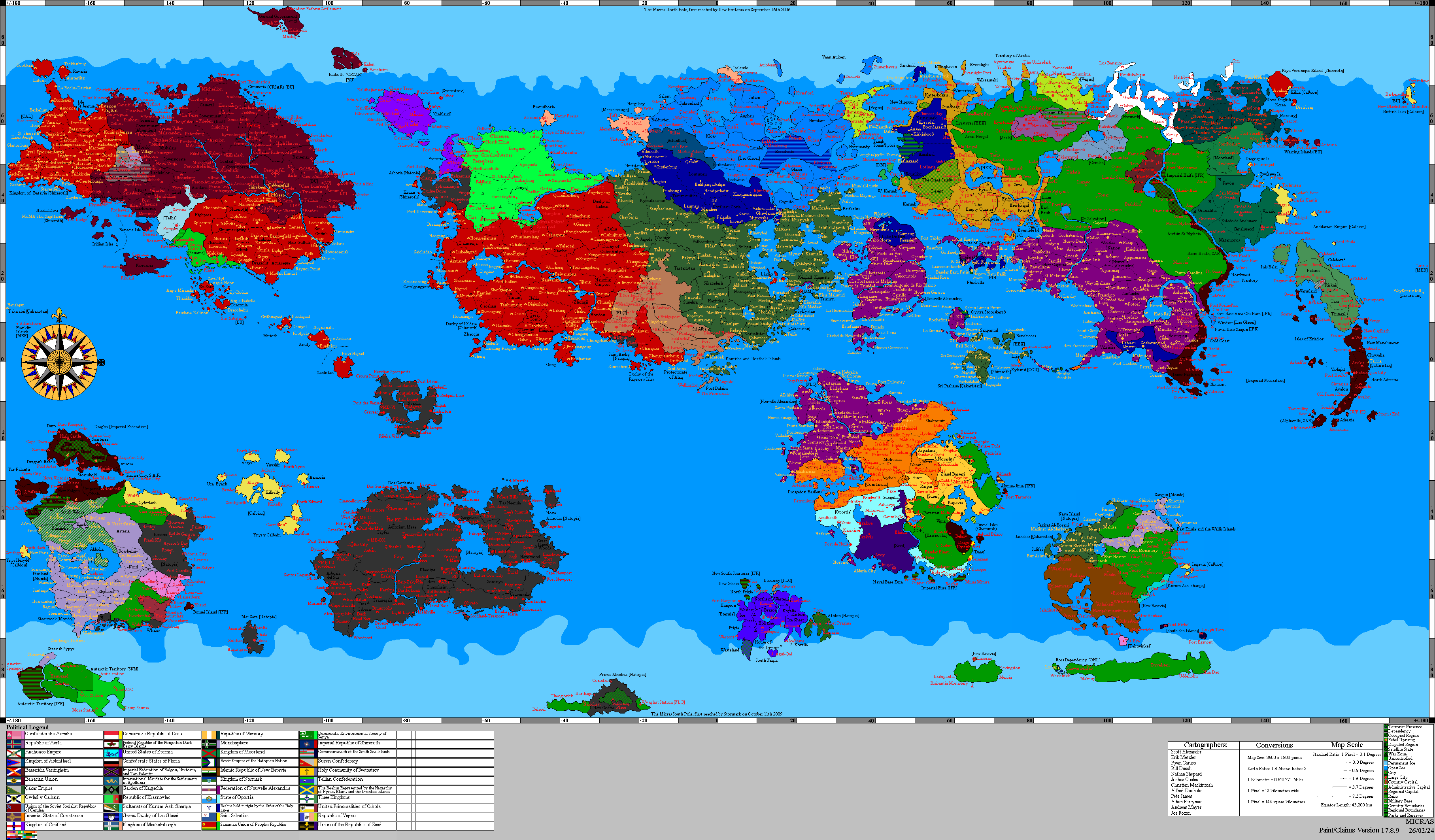
'''Adarma''' is a [[Province (Gerenia)|province]] in southern [[Gerenia]] | '''Adarma''' is a [[Province (Gerenia)|province]] in southern [[Gerenia]]. It's the second biggest one, behind [[Sängeran]]. | ||
== History == | == History == | ||
Early Gerenian settlers reached present-day Adarma through the [[Camoleo River]]. The first towns were built on the banks of the Camoleo, while many people also moved westwards. The whole | Early [[Gerenian pioneer|Gerenian settlers]] reached present-day Adarma through the [[Camoleo River]]. The first towns were built on the banks of the Camoleo, while many people also moved westwards. The whole region was named ''Adarma'', as its hilly terrain reminded the settlers the [[Meeredres|Meeredrian]] region called Adarma. | ||
Adarma became the fourth [[Provinces of Gerenia|Gerenian province]] in August 2012. Later in the year, it was included within [[Sibirel|Sibirel Region]], with [[Tawlkar (city)|Tawlkar]] becoming the seat of government of both administrative divisions. | Adarma became the fourth [[Provinces of Gerenia|Gerenian province]] in August 2012. Later in the year, it was included within [[Sibirel|Sibirel Region]], with [[Tawlkar (city)|Tawlkar]] becoming the seat of government of both administrative divisions. | ||
| Line 41: | Line 45: | ||
== Demographics == | == Demographics == | ||
As of June 2017, the province's population was 1,168,323. Roughly half of the population resides in Tawlkar, the provincial capital. Other important urban centres are [[Tániz]] and [[Sper]]. Adarma's fastest growing towns are Näsern and Joslity, both on the banks of the Camoleo. | |||
== Transportation == | == Transportation == | ||
Adarma's primary mode of transportation (in terms of passengers) is its railway system, operated by the [[Gerenian State Railway Company]]. The lines 40, 41 and 42 connect Tawlkar with other major communities in the province and in neighbouring provinces. There is also a growing network of roads which connect smaller settlements. Route 40 is a south-north corridor, which links | Adarma's primary mode of transportation (in terms of passengers) is its railway system, operated by the [[Gerenian State Railway Company]]. The lines 40, 41 and 42 connect Tawlkar with other major communities in the province and in neighbouring provinces. There is also a growing network of roads which connect smaller settlements. Route 40 is a south-north corridor, which links Sper with Tániz before entering the [[West|Western province]]. | ||
Public transportation, intra-city bus services are offered in Tawlkar and Tániz, while a few inter-city services also exist. Such services are jointly operated by the [[District (Gerenia)|district]] and province governments. | Public transportation, intra-city bus services are offered in Tawlkar and Tániz, while a few inter-city services also exist. Such services are jointly operated by the [[District (Gerenia)|district]] and province governments. | ||
Revision as of 16:58, 19 July 2017
| Adarma Province Proziu Adarmes (gr) | |||
| |||

| |||
| Established | 11 August 2012 | ||
| Capital | Tawlkar | ||
| Largest cities | Tawlkar, Tániz, Sper | ||
| Demonym | Adarman | ||
| - Adjective | Adarman | ||
| Governor | Ims Sanlorä (IPG) | ||
| Area | 126,072 km² | ||
| - Ranked | 2nd | ||
| Population | 1,168,323 (2017) | ||
| - Ranked | 3rd | ||
| Density | 9.27/km² | ||
| Abbreviation | AD | ||


Adarma is a province in southern Gerenia. It's the second biggest one, behind Sängeran.
History
Early Gerenian settlers reached present-day Adarma through the Camoleo River. The first towns were built on the banks of the Camoleo, while many people also moved westwards. The whole region was named Adarma, as its hilly terrain reminded the settlers the Meeredrian region called Adarma.
Adarma became the fourth Gerenian province in August 2012. Later in the year, it was included within Sibirel Region, with Tawlkar becoming the seat of government of both administrative divisions.
Geography
The vast majority of the province's area is occupied by the Adarman Highlands. Gerenia's highest peak, Tankberg, is located in the centre of Adarma.
Demographics
As of June 2017, the province's population was 1,168,323. Roughly half of the population resides in Tawlkar, the provincial capital. Other important urban centres are Tániz and Sper. Adarma's fastest growing towns are Näsern and Joslity, both on the banks of the Camoleo.
Transportation
Adarma's primary mode of transportation (in terms of passengers) is its railway system, operated by the Gerenian State Railway Company. The lines 40, 41 and 42 connect Tawlkar with other major communities in the province and in neighbouring provinces. There is also a growing network of roads which connect smaller settlements. Route 40 is a south-north corridor, which links Sper with Tániz before entering the Western province.
Public transportation, intra-city bus services are offered in Tawlkar and Tániz, while a few inter-city services also exist. Such services are jointly operated by the district and province governments.
Military instalations
Adarma is currently the home of three major military bases and installations.
- Camp Lavadal
- Fort Álker
- Mežan Base
Protected areas
Adarma is home to two national parks and two nature reserves. These are:
- Ámbertar Nature Reserve
- National Park of the Lakes
- Selvanees Nature Reserve
- Victoria Island National Park
See also
| |||||