Elizabeth Isle
 Coat of Arms | |
| Status | Crown dependency of the Kingdom of the Union of Caputia |
| Former name | Isle of Eastern Rey |
| Location | Off the eastern coast of Eura |
| Capital | Marielagrad |
| Largest settlement | Marielagrad |
| Ceded by | Passio-Corum (Greater Pallisican Trade Association) |
| Ceded under | Treaty of Bel-Air |
| Head of State | Elizabeth I |
| Administration |
|
| Representation | Dependencies' Electoral District (with Santa Melusina) |
| Garrison | 7,906 (Army and Navy, 1663 AN) |
| Currency | Caputian laurel (₺) |
| Population | 19,883 (1663 AN census) |
Elizabeth Isle was a Crown dependency of the Kingdom of the Union of Caputia, a sparsely populated island lying off the eastern coast of the Euran continent. Its capital and only town of consequence was Marielagrad, and at the census of 1663 AN it returned a population of 19,883. It was not part of Caputia itself but a possession of the Crown.
The island came to Hamland from Passio-Corum under the Treaty of Bel-Air, which settled the Passasian Question by exchanging the Hammish holdings in Passas for two Pallisican territories. In the treaty it was called the Isle of Eastern Rey, a name coined for the draft; it took the name Elizabeth Isle after the foundation of Caputia and the accession of Queen Elizabeth I on 25.XII.1653 AN.
The island carried a Caputian garrison and a weather monitoring station that supplied regional weather data, and in the last years of the kingdom its soldiers and sailors numbered close to two fifths of its census population. It was little touched by the Hammish Civil War, and the kingdom that garrisoned it collapsed in the late 1660s AN.
Etymology and name
The island bore no formal name in Pallisican usage before the cession. During the negotiation of the Treaty of Bel-Air, the Pallisican envoy Pallisico Sitre observed that the territories to be ceded had no formal names at all, and proposed that the Anterran claim be called the Region of the Northern Anterran Isles and the Euran claim the Isle of Eastern Rey. Both names were adopted for the treaty draft, and the island entered Hammish possession under the second of them.
The name Elizabeth Isle honors Queen Elizabeth I and was taken up after the Declaration of Zalae and her accession. Queen of Elizabeth Isle was among the Queen's titles, and the proclamation with which her officers opened Parliament recited it: "Our Sovereign Lord Elizabeth I, by the Grace of God of Caputia, Hamland, Elizabeth Isle and Santa Melusina Queen, Defender of the Faith." The definitive style she fixed by proclamation in 1653 AN gathered the dependencies under the words "and of Her Other Realms and Territories."
Nothing is recorded of the origin of Marielagrad's name.
History
Before the cession
The island lay within the commercial sphere that Pallisican and Bassarid merchants maintained along the eastern edge of Eura, the same waters in which the mercantile lords of Shahpéo governed the island city of Béihagh on behalf of the Eastern Eura Trade Association. It was valued as an anchorage and a victualing station rather than as a colony, and it supported no settlement larger than Marielagrad.
Cession under the Treaty of Bel-Air

The cession arose from the Passasian Question, and from a proposal to wind up the Commonwealth of Hamland altogether and divide it between Alexandria, Stormark and Passio-Corum. That proposal was abandoned, and in its place the two governments agreed on an exchange of territory.
By the Treaty of Bel-Air, named for the great commercial city of Bel Air in Passas, Hamland ceded the Second Republic of Passas, the Overseas Colonies and Villa Levi to the Greater Pallisican Trade Association, and received in perpetuity the Region of the Northern Anterran Isles and the Isle of Eastern Rey. The treaty was signed for Hamland by Donat Ravaillac, Minister of the Homeland and Governor of Hammish-Monovia, and for the Association by Pallisico Sitre, Duke of Northman and New Zimian Ambassador to Hamland. It bound both parties to a non-aggression pact; by Article VII the Pallisican side undertook to support Hamland in defending its national unity and territorial integrity, and by Article VIII both resolved to build the border between them into one where ever-lasting peace and friendship prevailed. Article III required Hamland to lodge the cession with the Micronational Cartographic Society within two weeks, and Article IV placed the ceded lands under joint administration should the map not be amended at once.
The treaty was signed around the turn of the tenth century WG, while Ravaillac was still Minister of the Homeland. His installation as Interim Prime Minister of Hamland, and the usurpation that instigated the Hammish Civil War, came afterward; the cession therefore belongs to the Commonwealth and not to the war that began in 1644 AN. Caputia afterward regarded the treaty as inherited, which was the ground of its own title to the island.
Hammish and Caputian rule
Under Hamland the island served as a garrison and a weather station, and it kept both functions after the foundation of Caputia. The Caputian Government took direct responsibility for its defense and for its representation abroad, as it did for Santa Melusina, and the two dependencies together returned members to Parliament through the Dependencies' Electoral District, contested as a single district at the general elections of 1660 AN and 1665 AN.
The Edict of Expulsion
The Edict of Pallisican Expulsion and Repudiation of 1658 AN expelled all Bassarid nationals and practitioners of the Stripping Path from Caputia and its possessions, and its wording reached the dependencies directly. The provision applied to an island whose nearest neighbors were Bassarid: the Eastern Eura Trade Association governed Béihagh in the same waters, and the edict expelled the Association's subjects from a possession surrounded by its territory.
Civil war and collapse
The Hammish Civil War left the island largely unaffected, though it suffered some deaths from disease and famine. The Chancellor of the Exchequer, Carrie Fitzwater, reckoned it among the territories that were not badly damaged.
Caputia collapsed in the late 1660s AN. The White Plague spread by spores that could not survive long distances over saline water, traveling instead in cargo, and Elizabeth Isle carried no trade of consequence to carry it. The Queen outlived her kingdom, reigning in exile until 1723 AN, when the Caputian crown passed to her son. What became of the garrison, the station and the town is not recorded.
Geography

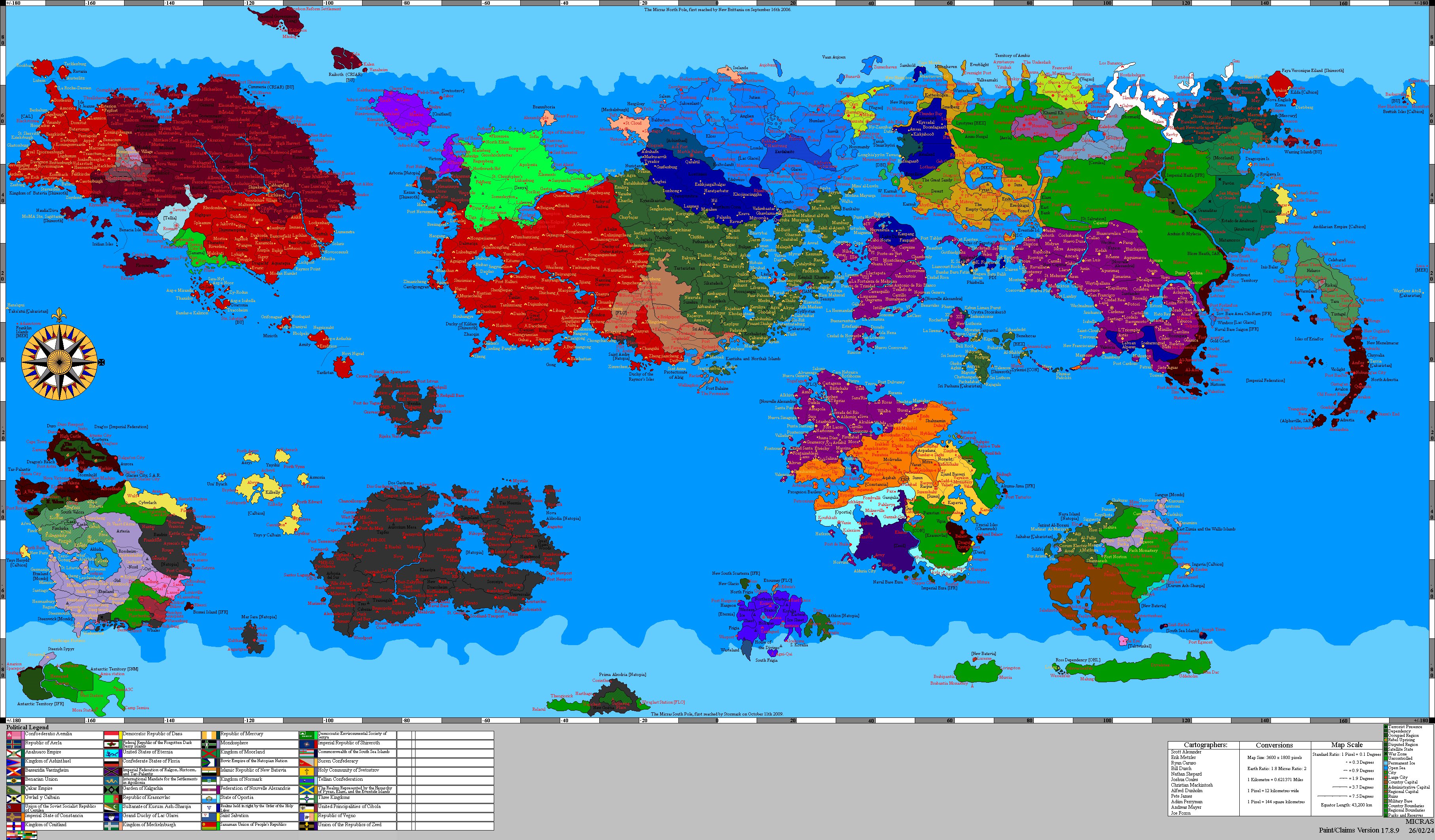
Elizabeth Isle lay off the eastern coasts of the Euran continent, in the reach of sea that runs toward the Sea of Storms. Caputian charts of the dependencies place it beside the island of Béihagh and the coast of the old Satrapy of Norasht, with foreign holdings on every side, Pallisican and Bassarid alike, which left it the kingdom's most distant possession. With Santa Melusina on the far side of the Sea of Storms, the two dependencies stood at opposite edges of that sea, which was the shape the exchange had been negotiated to produce.
It was largely uninhabited. Palm groves grew along its shores, and the coconut palm of its arms is drawn from them.
Government and politics
Elizabeth Isle was one of the two Crown dependencies of Caputia, with Santa Melusina. Neither formed part of the kingdom proper. They were unincorporated territories and possessions of the Crown itself, and were distinguished in Caputian law from the states, such as Monovia, and from the Royal District of Zalae.
The distinction was practical as well as formal. A state governed itself and returned its own members; a dependency was administered on the Crown's behalf by an officer the Crown appointed, and looked to the Caputian Government for the two things it could not provide for itself: its defense and its voice abroad. For representation the dependencies were combined into a single multi-member district, the Dependencies' Electoral District, rather than counted among the states when Parliament apportioned seats by census. That arrangement held steady while the map of the states did not, the kingdom counting eleven states at the election of 1660 AN and twelve at that of 1665 AN.
Economy
The island's economy rested on the base and the sea. Its people fished, but the garrison and its establishment formed the largest employer on the island and brought in most of its money. Cultivable ground was scarce and there was no agriculture worth the name, so provisions came in by sea like everything else. Under the National Social Grant Act of 1665 AN the dependencies drew the National Social Transfer alongside the states, a block grant for social security, welfare and health worth ₺10 billion in 1665 AN and ₺20 billion in 1666 AN, rising by a factor of 1.03 a year and due to lapse on 3.VI.1667 AN. The currency was the Caputian laurel (₺).
Demographics
At the census of 1663 AN the island returned 19,883 inhabitants. It was by a wide margin the smallest of the kingdom's territories, the least populous of the states holding more than a hundred times as many people.
Media
The regional radio stations Wechua Networks and CenturyNet carried into some of the main parts of the island, as they did into Haifa, Monovia, San Luis and the Wechua Nation.
Military


Relative to its population the island was the most heavily garrisoned place in Caputia. The Army maintained the 1st Elementary Training Regiment there, some 3,000 strong, and the Navy stationed its 9th Squadron, of 4,906 officers and ratings, in its waters. Together they came to 7,906 service personnel against a census population of 19,883, close to two fifths of the figure the kingdom counted on the island.
Its establishment answered to the Overseas Garrisons, held under the Joint Chiefs at Zalae District, and its infantry to the Overseas Division of the Corps of Infantry, in the structure the Crown codified by Royal Proclamation on 16.XI.1654 AN. The two dependencies together accounted for 38,626 service personnel, against a Caputian establishment of 815,140 in 1661 AN: some one in twenty of the armed forces, stationed on territories that were not part of Caputia.
The weather monitoring station attached to the base supplied regional weather data. Caputian listening devices were planted in the seabeds around the island, as they were around Santa Melusina and the Isles of Caputia.
See also
| Political divisions of Caputia | 
| ||||||
|---|---|---|---|---|---|---|---|
| |||||||