Captive Sea: Difference between revisions
From MicrasWiki
Jump to navigationJump to search
Newzimiagov (talk | contribs) No edit summary |
Newzimiagov (talk | contribs) No edit summary |
||
| Line 1: | Line 1: | ||
[[File:Sea3.png|thumb|Captive Sea]] | [[File:Sea3.png|thumb|Captive Sea]] | ||
[[File:CaptiveSeamap.png|200px|thumb|left|A detailed map of the Captive Sea.]] | |||
Situated between Western mainland [[Keltia]] and the [[Skerry Isles]], the [[Captive Sea]] is among the oldest consistently settled regions in [[Micras]]' eastern hemisphere. | Situated between Western mainland [[Keltia]] and the [[Skerry Isles]], the [[Captive Sea]] is among the oldest consistently settled regions in [[Micras]]' eastern hemisphere. | ||
Revision as of 19:35, 18 June 2019


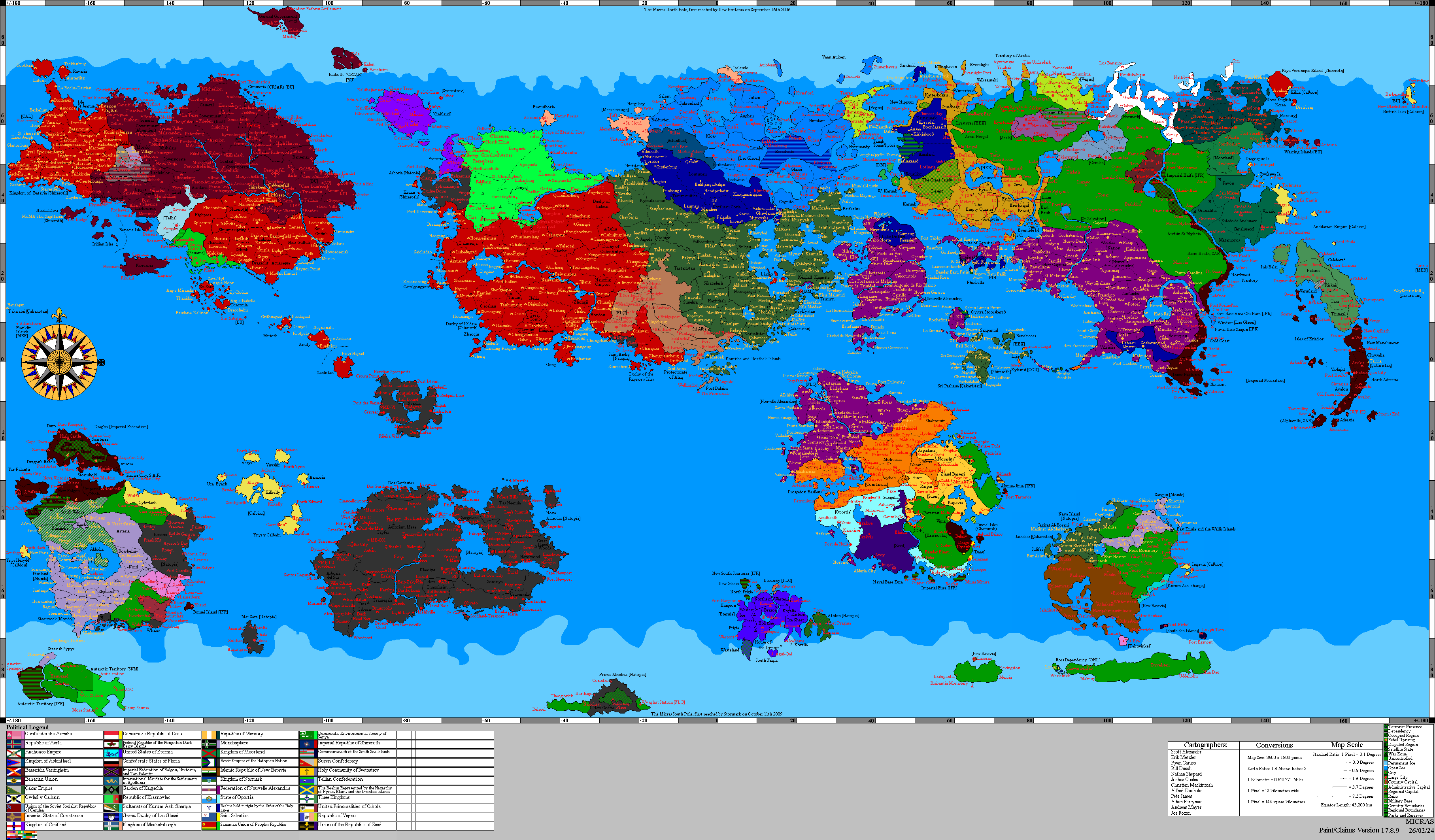
Situated between Western mainland Keltia and the Skerry Isles, the Captive Sea is among the oldest consistently settled regions in Micras' eastern hemisphere.
Countries which claim territory bordering the Captive Sea are: Passio-Corum, Hamland, Stormark, Hoenn, Jingdao, Craitland, and Lostisland .