Sundhaven
| Sundhaven | |
| [[File:|270px|frameless]] | |
| Motto: | |
| [[File:|270px|Location of Sundhaven|frameless]] | |
| Nation |  Anglien |
| ' | |
| Official language(s) | Crandish (official); Anglo-Saksen |
| Demonym | Sundhavener |
| - Adjective | Sundhaven |
| Government | Municipal administration within the bailiwick of the eastern districts |
| Burgemeester | Joris Kappel |
| Establishment | |
| Population | approx. 11,000 (1756 AN estimate) |
| Abbreviation | |
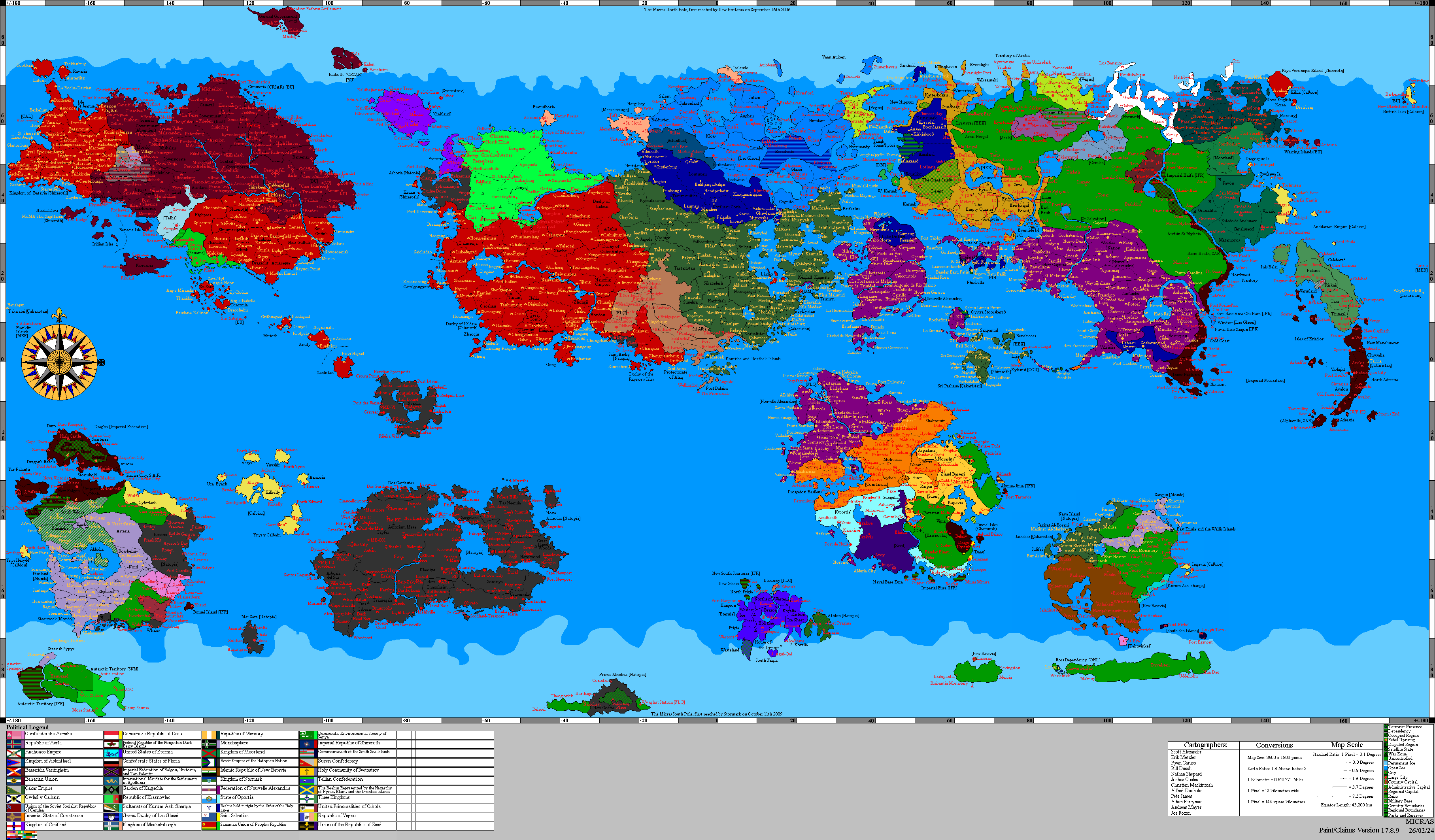
Sundhaven (Crandan: Sundhaven; Anglo-Saksen: Soundhaven) is a port town on the east coast of the Free Duchy of Anglien, situated east of Bergbuurg on the sound separating the Anglien mainland from the Purple Isles. Since the close of the war the town has served as the principal mainland ferry connection to the Purple Isles, supplementing the longer-established crossings from Eesdehaven and the flight connection via Johannsessbuurg. The name derives from the Crandish sund (sound) and haven (harbor).
Geography and transport
Sundhaven occupies a sheltered inlet on Anglien's central-eastern coast, facing the inner channel of the Purple Isles. The crossing from Sundhaven to Montrial is the shortest scheduled ferry route between the mainland and the island chain. The town's harbor, a working fishing port during the Lac Glaceian period, was rebuilt and expanded under the Council of Ministers' reconstruction program from XII.1754 AN, with the ferry terminal entering regular service in 1755 AN. A coastal road links Sundhaven to Bergbuurg and the inland rail network.
Economy and population
The town's economy combines commercial fishing, the ferry service, and a small reconstruction-era construction sector. Its permanent population, estimated at approximately 11,000 in 1756 AN, is predominantly Crandish, with a substantial Anglo-Saksen-speaking community along the coast and a smaller resident fishing population. Sundhaven returns no separate seat to the Diet of Anglien, voting within the eastern districts bailiwick constituency.