Springwind Islands: Difference between revisions
| Line 315: | Line 315: | ||
==Geography== | ==Geography== | ||
The Springwind Islands area consists of the main island, Springwind Island and two small islands, [[Batu Penyu Island]] and [[Tubir Selatan]]. The Springwind Islands are located in the Ieu'ryian Strait, located about 280 km off the coast of [[Phinbellan Unincorporated Territory]] and about 360 km off the coast of [[Nabor Klaftershaft]]. The archipelago is also located at 85 km from the collectivity of Boninki Islands. | The Springwind Islands area consists of the main island, Springwind Island and two small islands, [[Batu Penyu Island]] and [[Tubir Selatan]]. The Springwind Islands are located in the Ieu'ryian Strait, located about 280 km off the coast of [[Phinbellan Unincorporated Territory]] and about 360 km off the coast of [[Nabor Klaftershaft]]. The archipelago is also located at 85 km from the collectivity of Boninki Islands. | ||
In the archipelago, the highest point in the archipelago is [[Bukit Pinara]] with a height of 287 meters above sea level, it is located in the heart of the city about 2 kilometers from Tamar. ''Bukit Pinara'' is an unofficial name, there is no official name at this highest point. | |||
===Climate=== | ===Climate=== | ||
Revision as of 16:09, 1 December 2020
| Springwind Islands Kepulauan Springwind |
|
|---|---|
| Collectivity of Springwind Islands Jajahan Kepulauan Springwind |
|
 |
|
  |
|
| Country |  Phinbella |
| Territory |  Straits Settlements |
| Proclamation of British sovereignty (Annexation) |
6 June -16BP |
| Incorporated | 1 January -6BP |
| Springwind Islands sexual assault trial | RP 2600 |
| Springwind Islands riots | RP 2600 |
| Straits Settlements referendum | 20 November RP 2600 |
| Establishment of Straits Settlements | 20 December RP 2600 |
| Straits Settlements Act | 20 December RP 2600 |
| Government | |
| • President | Ikmal Hakimi |
| • Governor-General | Kim Nam-joon |
| • Administrator | Natasha Griggs |
| • Shire President | Kewin Illakyou Flyeune |
| Population (RP 2616) | |
| • Total | 99,500 |
| • Density | 10.39/km2 (26.9/sq mi) |
| Demonym | Springwind Islander |
| Demographics | |
| • Ethnic groups |
|
| Time zone | PPT (UTC+5:20) |
| Postcode | 39xxx |
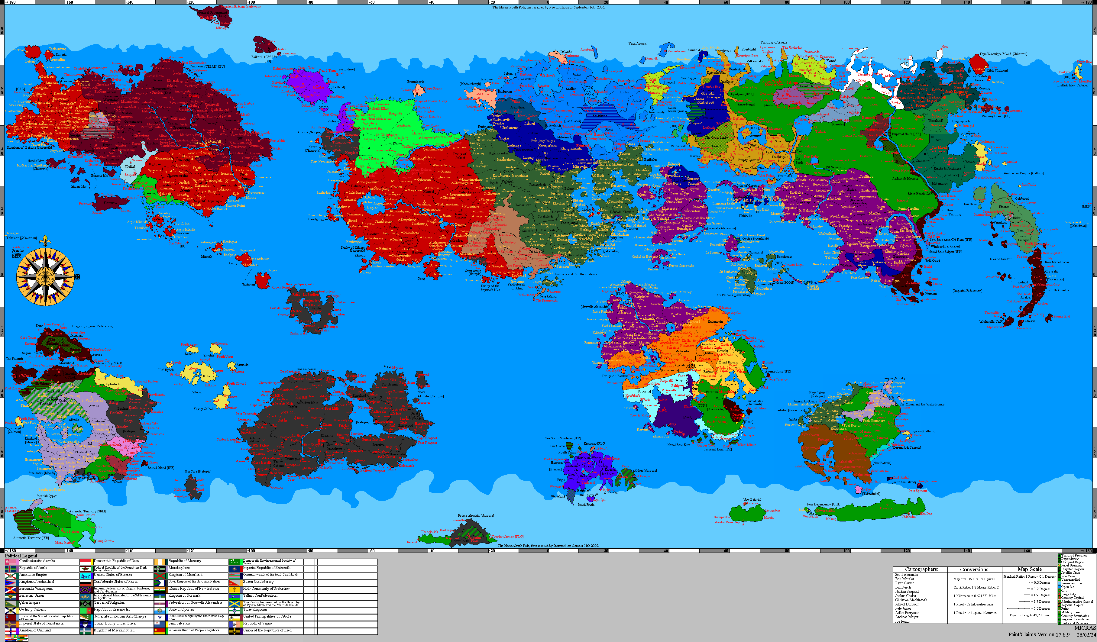
Springwind Islands (Phineaner: Kepulauan Springwind), officially the Collectivity of Springwind Islands (Phineaner: Jajahan Kepulauan Springwind), is a island-city and the administrative center of the Phinbellan Straits Settlements. It is made up of the eponymous Springwind Island and six smaller islands, and is located in Íeu'ryïan Straits, 680 kilometres south-east of the city of Negara Awan, 85 kilometres south-west of Boninki Islands and 348 kilometres north-west of the closest point of Tri-State Area of Mutiara Makmur. Springwind Islands' main settlement and city centre is Tamar. It is also a tourist destination for people travelling through Straits Settlements, nearby Phinbellans and scuba divers. The island was later named after the first native born person, William Springwind Flynn and settled in the late -18BPs.
The city is administered by the Phinbellan federal government's Department of Infrastructure, Regional Development and Cities, and together with Boninki Islands (which is about 85 kilometres to the north-east) forms the Straits Settlements administrative unit. However, the islanders do have a degree of self-government through the local shire council. Many public services – including health, education, and policing – are provided by these department, and Straits Settlements law applies except where the federal government has determined otherwise.
History

|
This article or section is a work in progress. The information below may be incomplete, outdated, or subject to change. |
Early years

Springwind Islands referendum, RP 2600

In RP 2600, Springwind Islands together with the Boninki Islands wanted to separate and wanted to joining Phinbella because they were fed up with the claimism ideology of Ir. Mat Badutwie in controlling this settlement until the Springwind Islanders and Boninki Islanders forced Badutwie to hold a referendum. From November 20 to December 1, RP 2600, a referendum was held in the Springwind Islands and Boninki Islands to determine whether to separate to form the Straits Settlements territory or to be part of the dependent territories, the referendum was held peacefully.
On December 8, RP 2600, the results of this referendum resulted in the Springwind Islands together with the Boninki Islands separating on December 20 and forming the territory of Straits Settlements. The Springwind Islands have adopted Liberal ideology and recognized same-sex marriage until the Straits Settlements became the first territory of Phinbella to recognize same-sex marriage followed by Springwind Boy's marriage to a brother who had become controversial throughout Phinbella and became the most gayest city in Phinbella.
Geography
The Springwind Islands area consists of the main island, Springwind Island and two small islands, Batu Penyu Island and Tubir Selatan. The Springwind Islands are located in the Ieu'ryian Strait, located about 280 km off the coast of Phinbellan Unincorporated Territory and about 360 km off the coast of Nabor Klaftershaft. The archipelago is also located at 85 km from the collectivity of Boninki Islands.
In the archipelago, the highest point in the archipelago is Bukit Pinara with a height of 287 meters above sea level, it is located in the heart of the city about 2 kilometers from Tamar. Bukit Pinara is an unofficial name, there is no official name at this highest point.