East Barrow Island: Difference between revisions
No edit summary |
No edit summary |
||
| Line 24: | Line 24: | ||
== History == | == History == | ||
In 1630 AN the islands became part of the Elwynn. The isles are named after the [[Esther Ayreon-Kalirion|Lady Esther]], daughter of [[Daniel Kalirion|Prince Daniel of Elwynn]], and mother of [[King Noah]] and Prince [[Audun Joel Ayreon-Kalirion|Audun Joel]]. | Previously, the islands were known as "Warring Islands" or "Warring Isles". Nowadays that name is still used by [[Nova England]]. | ||
In ancient history the islands were wholly or partly part of the Celtic Kingdom of Syrah, the Kingdom of Bactria, Shirlan, Auelrict, Federal Republic of Chine, Commune of Velsen and the [[Lovely|Kingdom of Lovely]]. | |||
Between 1541 and 1587 AN the islands were part of Nova England, while the easternmost island was part of Benevolent until its fall in 1542 AN. Between 1543 and 1547 AN the easternmost island was part of the [[Britannic Empire]], which called that island "Isle St. Charles". | |||
Between 1591 and 1599 AN the islands were part of the [[Batavia|Kingdom of Batavia]]. The easternmost island, known as [[Princess Fränzi-Ferdinanda Island]], had been part of the Kingdom of Batavia since 1556 AN. After the fall and revival of the Kingdom of Batavia that island became part of the [[Arcadia|Kingdom of Arcadia]] in 1668 AN, after which the island was donated to the Kingdom of Batavia in 1669 AN. | |||
In 1630 AN the islands became part of the [[Elwynn]]. The isles are named after the [[Esther Ayreon-Kalirion|Lady Esther]], daughter of [[Daniel Kalirion|Prince Daniel of Elwynn]], and mother of [[King Noah]] and Prince [[Audun Joel Ayreon-Kalirion|Audun Joel]]. But since 1653 AN the islands were abandoned, as part of the strategy to erase the [[Froyalanish genocide|Froyalan culture]]. A process that had been going on for two Norton years since the illegal deposition of King Noah. | |||
In the middle of 1657 AN, the islands were the scene of a three-sided armed confrontation between the Shirerian Imperial Navy, the Sea-Reavers and the Babkhi mercenaries, which became available by [[shire:Emirate of Jadid Khaz Modan|Jadid Khaz Modan]] and [[Elwynnese Republic|Livvist Elwynn]] by [[Liv Dravot]]. This confrontation ended after the Shirerian Steward [[shire:Waldemar Zinkgraven|Waldemar Zinkgraven]] was replaced by [[shire:Mira Octavius-Aryani|Mira Octavius-Aryani]]. | |||
Since 1663 AN, Nova England has had the islands largely under its flag. With the [[Princess Fränzi-Ferdinanda Island]] under Batavian control, only eastern Barrow Island was unoccupied. Francia claimed that part in 1681 AN. | |||
== Geography == | |||
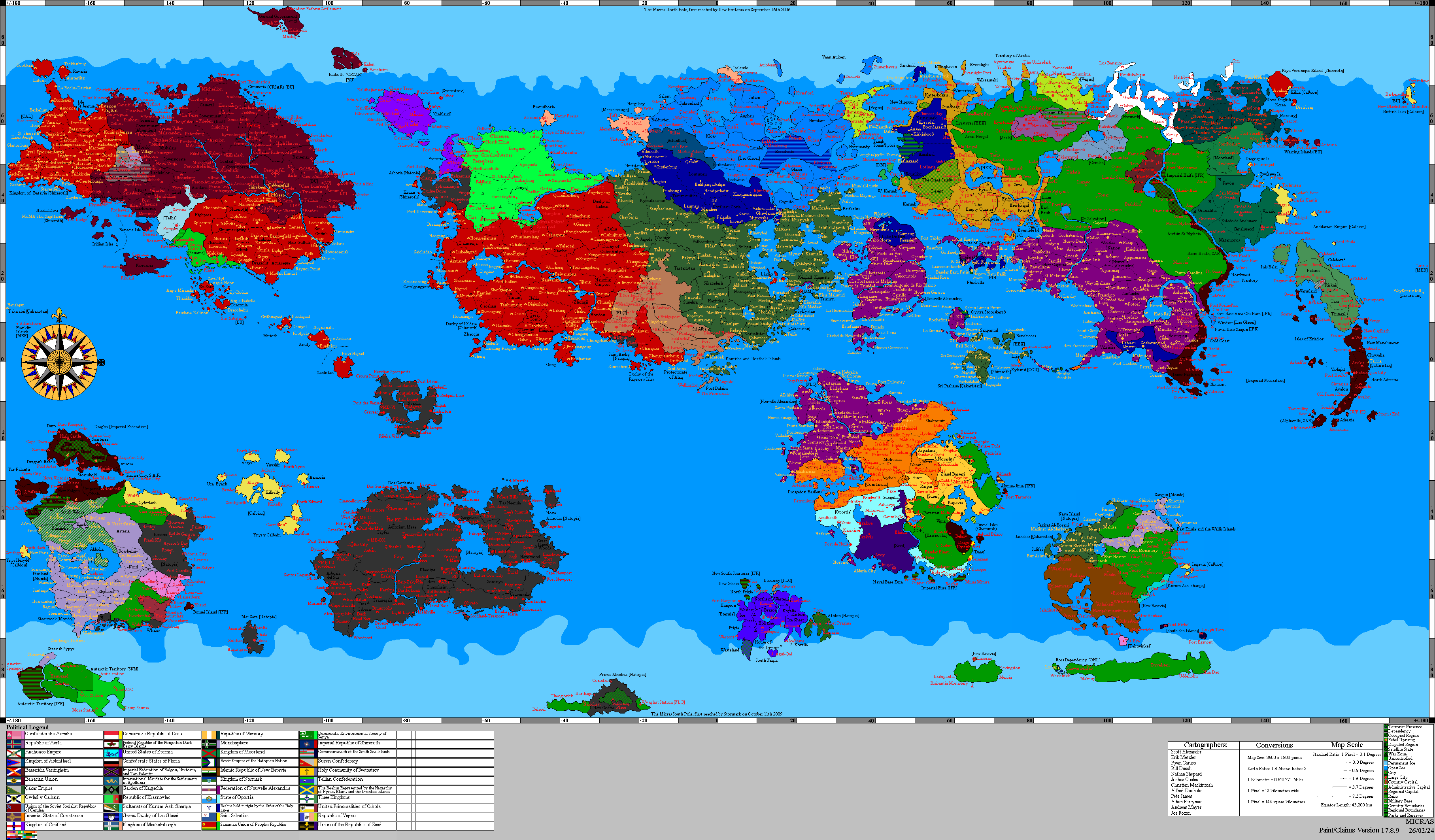
Eastern Barrow Island covers an area of 9,288 km2 (3,586 mi2). It has a border of 145 km (90 mi) with Nova England, which occupies the western part of Barrow Island. | |||
== Development == | |||
As there is no significant city on Eastern Barrow Island, Francia is planning to develop the area. A new city, which will function as the capital of the duchy, is planned. This city called '''Port Esther''' is named after Lady Esther, after which the Lady Esther Isles are also named. A new port is planned, so that a ferry connections with [[Antonia]], [[Colonia Arcadia]], [[Dietsberg]] and [[Port Goose]] can be set up. And a new airport to provide a scheduled flight connection with other parts of the Frankish Empire, such as directly to [[Brandenburg]]. | |||
Revision as of 10:28, 27 February 2020
| Duchy of the Lady Esther Isles | |||
| |||
| Motto: "Nature is our nourisher" | |||

| |||
| Administrative Division | crown land | ||
| Founded | 1630 AN | ||
| Demonym | |||
| Leadership | |||
| Districts | |||
| Transport hubs | |||
| Major roads | |||
| Rail connections | |||
| Population | |||


Lady Esther Isles, officially Duchy of the Lady Esther Isles, is an overseas crown land within the Frankish Empire. It is located on the Keltia continent and belongs to what is called "Francia Occidentalis".
Francia intends to claim the remaining part of the original Lady Esther Isles, namely Eastern Barrow Island. A new city will be founded, namely Port Esther, to act as the capital of the crown land. Despite the fact that only eastern Barrow Island is still available, the crown land will be added as "Duchy of the Lady Esther Isles" under the Frankish flag.
History
Previously, the islands were known as "Warring Islands" or "Warring Isles". Nowadays that name is still used by Nova England.
In ancient history the islands were wholly or partly part of the Celtic Kingdom of Syrah, the Kingdom of Bactria, Shirlan, Auelrict, Federal Republic of Chine, Commune of Velsen and the Kingdom of Lovely.
Between 1541 and 1587 AN the islands were part of Nova England, while the easternmost island was part of Benevolent until its fall in 1542 AN. Between 1543 and 1547 AN the easternmost island was part of the Britannic Empire, which called that island "Isle St. Charles".
Between 1591 and 1599 AN the islands were part of the Kingdom of Batavia. The easternmost island, known as Princess Fränzi-Ferdinanda Island, had been part of the Kingdom of Batavia since 1556 AN. After the fall and revival of the Kingdom of Batavia that island became part of the Kingdom of Arcadia in 1668 AN, after which the island was donated to the Kingdom of Batavia in 1669 AN.
In 1630 AN the islands became part of the Elwynn. The isles are named after the Lady Esther, daughter of Prince Daniel of Elwynn, and mother of King Noah and Prince Audun Joel. But since 1653 AN the islands were abandoned, as part of the strategy to erase the Froyalan culture. A process that had been going on for two Norton years since the illegal deposition of King Noah.
In the middle of 1657 AN, the islands were the scene of a three-sided armed confrontation between the Shirerian Imperial Navy, the Sea-Reavers and the Babkhi mercenaries, which became available by Jadid Khaz Modan and Livvist Elwynn by Liv Dravot. This confrontation ended after the Shirerian Steward Waldemar Zinkgraven was replaced by Mira Octavius-Aryani.
Since 1663 AN, Nova England has had the islands largely under its flag. With the Princess Fränzi-Ferdinanda Island under Batavian control, only eastern Barrow Island was unoccupied. Francia claimed that part in 1681 AN.
Geography
Eastern Barrow Island covers an area of 9,288 km2 (3,586 mi2). It has a border of 145 km (90 mi) with Nova England, which occupies the western part of Barrow Island.
Development
As there is no significant city on Eastern Barrow Island, Francia is planning to develop the area. A new city, which will function as the capital of the duchy, is planned. This city called Port Esther is named after Lady Esther, after which the Lady Esther Isles are also named. A new port is planned, so that a ferry connections with Antonia, Colonia Arcadia, Dietsberg and Port Goose can be set up. And a new airport to provide a scheduled flight connection with other parts of the Frankish Empire, such as directly to Brandenburg.