OpSat: Difference between revisions
From MicrasWiki
Jump to navigationJump to search
No edit summary |
No edit summary |
||
| Line 7: | Line 7: | ||
|data1 = [[OpSat Group]] | |data1 = [[OpSat Group]] | ||
|label2 = Launch date | |label2 = Launch date | ||
|data2 = | |data2 = 1–3.XV {{AN|1718}} | ||
|label3 = Launch pad | |label3 = Launch pad | ||
|data3 = [[National Space Bureau (Sanama)#Gehenn Space Center|Gehenn Space Center]], | |data3 = [[National Space Bureau (Sanama)#Gehenn Space Center|Gehenn Space Center]], | ||
{{team flag|Shireroth}} | {{team flag|Shireroth}} | ||
|label4 = Entered service | |label4 = Entered service | ||
|data4 = | |data4 = 1.I {{AN|1719}} | ||
|label5 = No. of satellites | |label5 = No. of satellites | ||
|data5 = 3 | |data5 = 3 | ||
}} | }} | ||
'''OpSat''' is a [[wikipedia:Satellite constellation|satellite constellation]] | '''OpSat''' is a [[wikipedia:Satellite constellation|satellite constellation]] operated by [[OpSat Group]], consisting of three communications satellites in [[wikipedia:Geosynchronous orbit|geosynchronous orbit]], providing global radio, telephone, television and internet services. The constellation is operating since 1.I {{AN|1719}}. | ||
==Coverage== | ==Coverage== | ||
The constellation | The constellation covers 99% of the [[Micras]] population. | ||
As projected in {{AN|1718}}, all countries and territories have full coverage, with the following exceptions: | |||
*{{team flag|Imperial Federation|notext=yes}} Antarctic Territory | *{{team flag|Imperial Federation|notext=yes}} Antarctic Territory | ||
*{{team flag|Benacian Union|flag}} [[Cimmeria and Raikoth Special Autonomous Region|CRSAR]] (north of [[Tala]]) | *{{team flag|Benacian Union|flag}} [[Cimmeria and Raikoth Special Autonomous Region|CRSAR]] (north of [[Tala]]) | ||
| Line 32: | Line 34: | ||
*{{team flag|Steerswick}} (partially) | *{{team flag|Steerswick}} (partially) | ||
*{{team flag|Wysglast Station|nolink=yes}} | *{{team flag|Wysglast Station|nolink=yes}} | ||
==Satellites== | |||
{|class="wikitable" | |||
|- | |||
!width=15% | Satellite name | |||
!width=15% | Orbit | |||
!width=15% | Launch date | |||
!width=15% | Entered service | |||
!width=15% | Status | |||
|- | |||
|align=center| OPSAT-{{tooltip|R|Red/Rouge}} | |||
|align=center rowspan="3"| [[wikipedia:Geosynchronous orbit|Geosynchronous]] | |||
|align=center| 1.XV {{AN|1718}} | |||
|align=center rowspan="3"| 1.I {{AN|1719|noAN=y}} | |||
|align=center bgcolor=#98FB98 rowspan="3"| Active | |||
|- | |||
|align=center| OPSAT-{{tooltip|B|Blue/Bleu}} | |||
|align=center| 2.XV {{AN|1718}} | |||
|- | |||
|align=center| OPSAT-{{tooltip|G/V|Green/Vert}} | |||
|align=center| 3.XV {{AN|1718}} | |||
|} | |||
[[Category:Technology]] | [[Category:Technology]] | ||
Revision as of 22:17, 31 March 2023
| OpSat | |
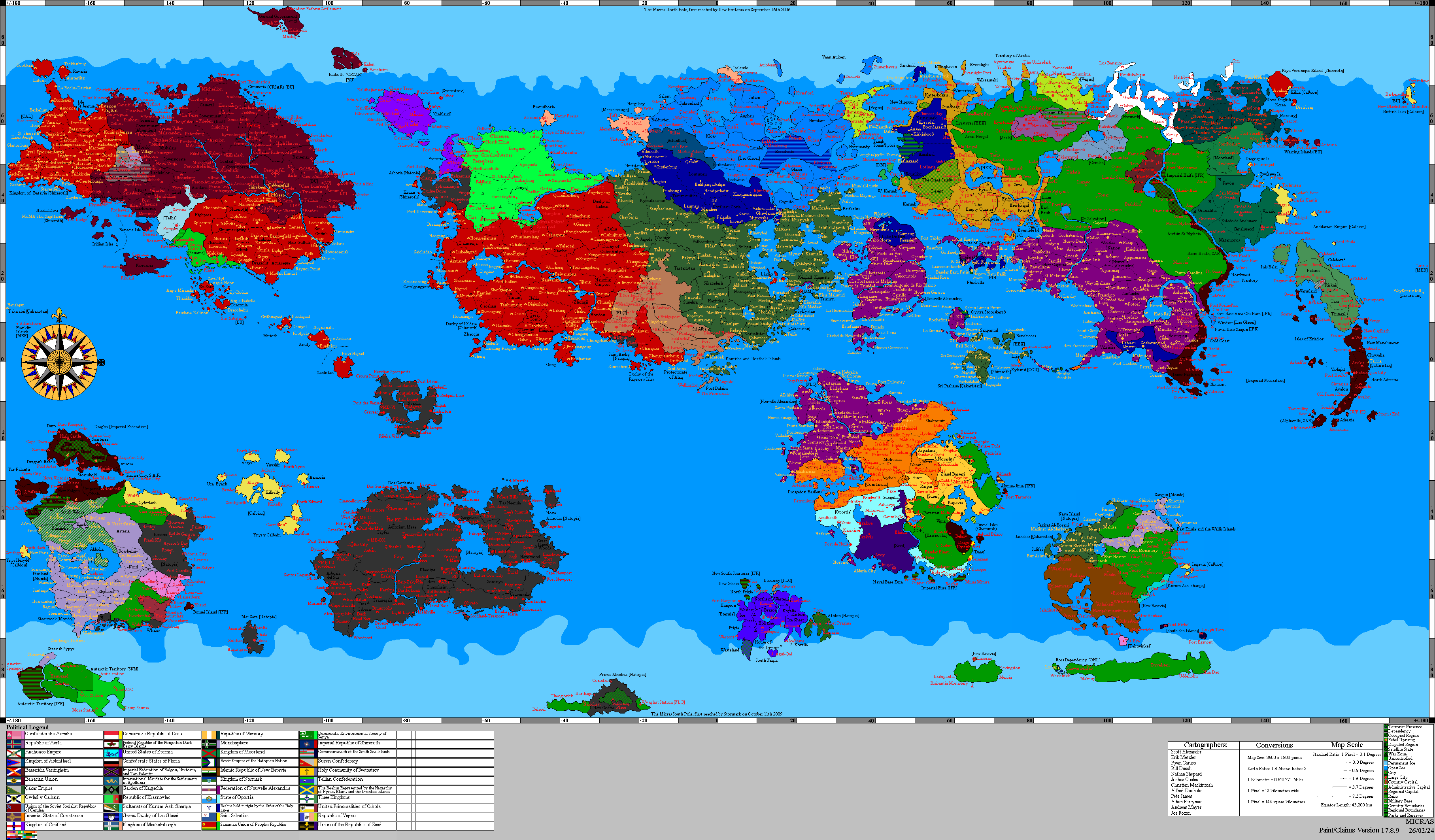
 The projected coverage map of OpSat constellation. | |
| Owner | OpSat Group |
|---|---|
| Launch date | 1–3.XV 1718 AN |
| Launch pad |
 Shireroth |
| Entered service | 1.I 1719 AN |
| No. of satellites | 3 |
OpSat is a satellite constellation operated by OpSat Group, consisting of three communications satellites in geosynchronous orbit, providing global radio, telephone, television and internet services. The constellation is operating since 1.I 1719 AN.
Coverage
The constellation covers 99% of the Micras population.
As projected in 1718 AN, all countries and territories have full coverage, with the following exceptions:
 Antarctic Territory
 CRSAR (north of Tala)
 Everblight and Anubis (partially)
 Islands of Light
 Leng
 Lucerne
 Prima Alrodria
 Ravaria
 Ross Dependency
 Sanaman Antarctic Territory
 Steerswick (partially)
 Wysglast Station


Satellites
| Satellite name | Orbit | Launch date | Entered service | Status |
|---|---|---|---|---|
| OPSAT-R | Geosynchronous | 1.XV 1718 AN | 1.I 1719 | Active |
| OPSAT-B | 2.XV 1718 AN | |||
| OPSAT-G/V | 3.XV 1718 AN |