MicrasWiki:Featured/August, 2026

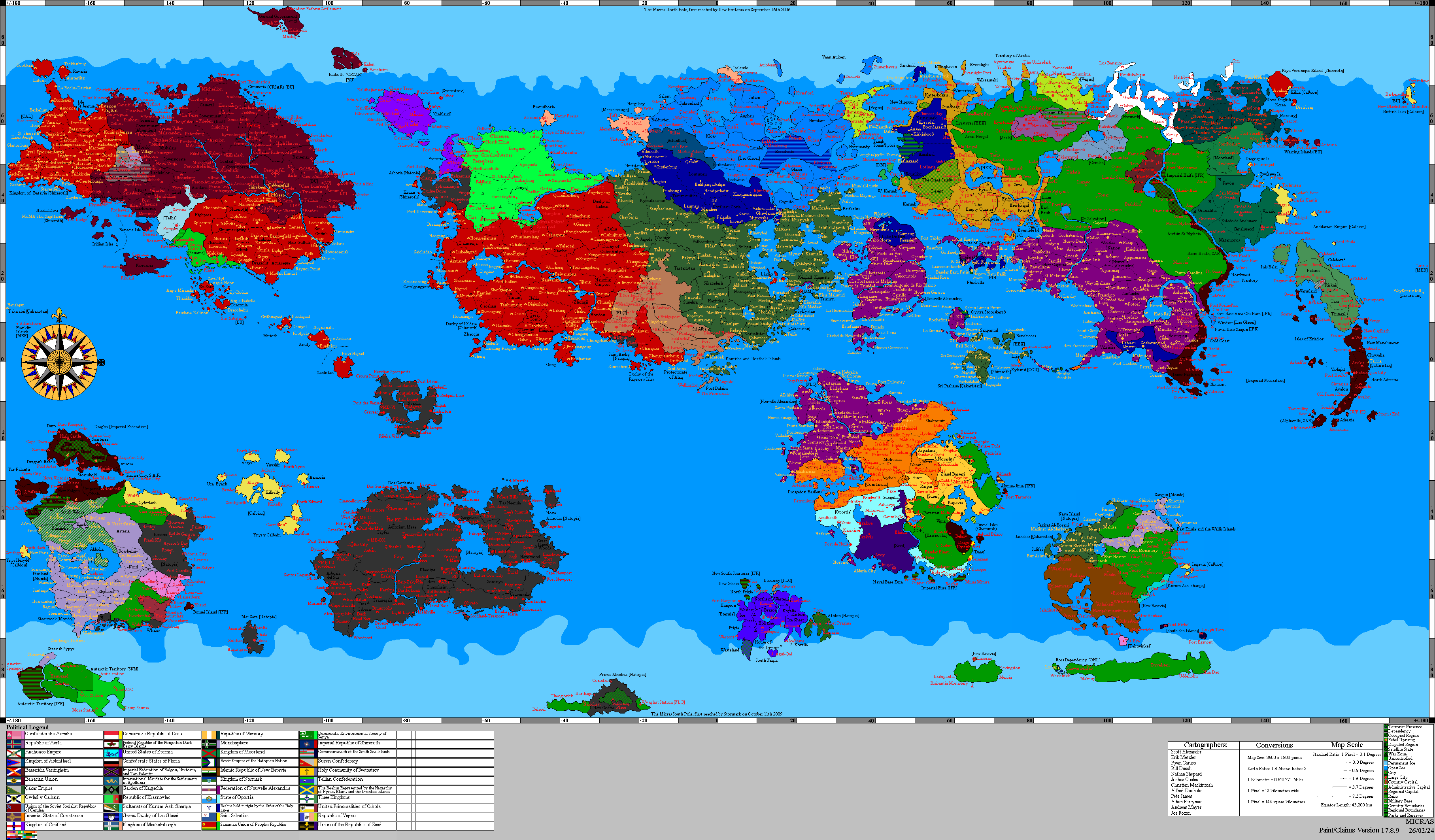
Over the years, the Çakaristan map collection has grown to include a range of detailed maps and MCS-style maps. The entire territory of Çakaristan has now been mapped in detail. This includes landscape features such as mountains, rivers, lakes and forests. It also includes towns, villages, roads, railway lines and ferry crossings. Airports, monuments, ruins and military bases are shown as symbols on the maps. And all of these are labelled with names. The most recent development concerns the numbering, planning and construction of highways. Foreign contractors are also being brought in for this purpose.
The collection also includes maps of the Sanpo-Çakar War, the Sylvanian National Awakening and Operation: Nae jeevan kee raksha. These are in MCS style as the detailed maps were not yet available. More...