Herrin Bay: Difference between revisions
From MicrasWiki
Jump to navigationJump to search
Created page with "{| class="infobox vcard" style="width:250px; font-size:93%;" |align=center colspan=2 | <h1 style="margin:0;background-color:#DEB887;font-size:123%;font-weight:border:1px solid #E6E6FA;text-align:padding:0.2em 0.4em;"> <span>'''Herrin Bay'''</small></span> |- |-class="mergedrow" | colspan="2" align=center style="width:90%; border:0; vertical-align:middle;" | 200px |- |-class="mergedrow" |align=center colspan=2 | <h2 style="margin:0;backgroun..." |
No edit summary |
||
| Line 33: | Line 33: | ||
[[Category:Seas]] | [[Category:Seas]] | ||
[[Category:Geography]] | [[Category:Geography]] | ||
[[Category:Geography of Apollonia]] | |||
Latest revision as of 18:25, 15 June 2025
Herrin Bay | |

| |
Basic details | |
| Surface area | TBD |
| Shore length | TBD |
| Max. length | TBD |
| Max. width | TBD |
Geography | |
| Location | Apollonia |
| Coordinates | TBD |
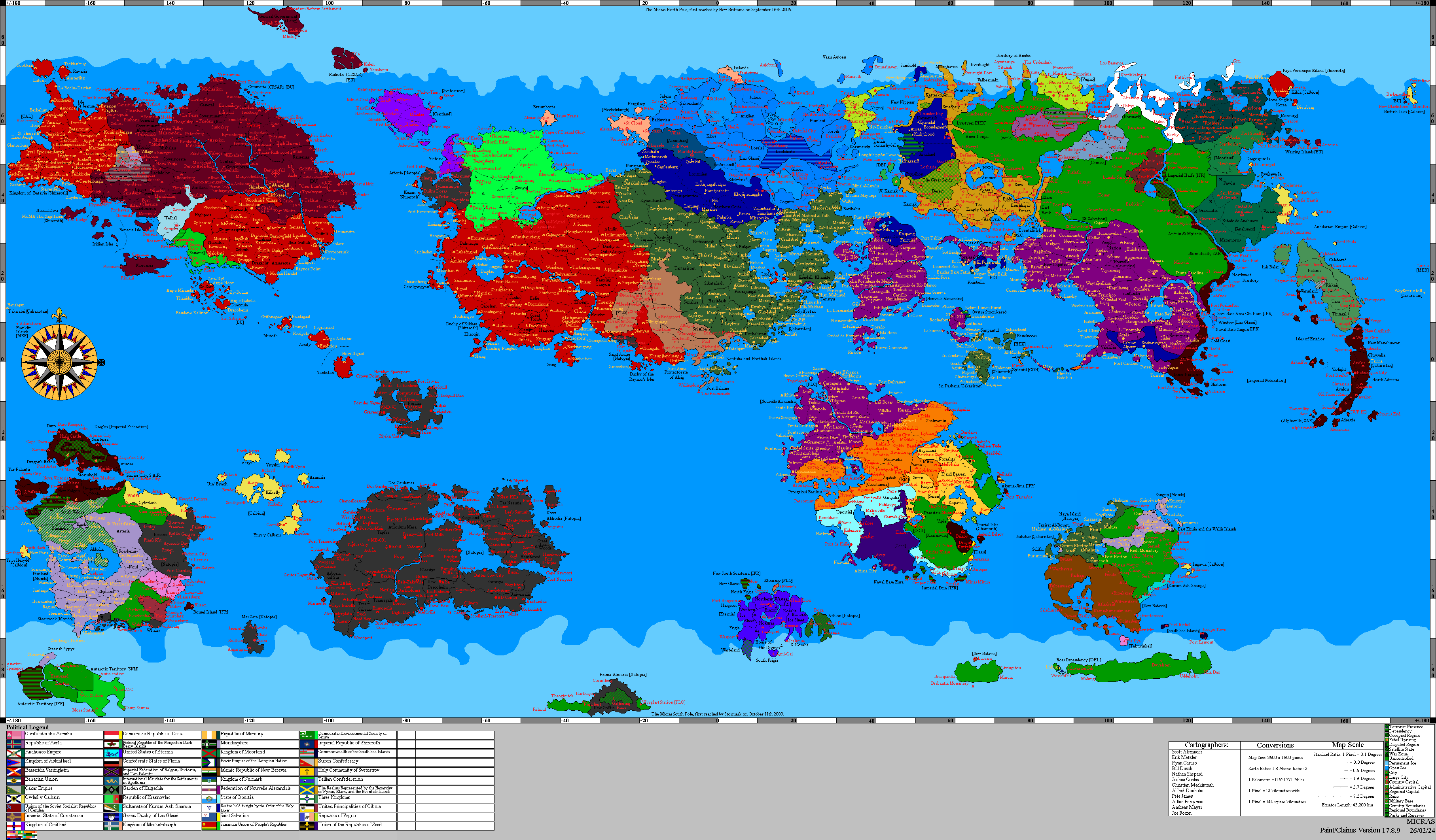
The Herrin Bay is located at the head of the Dyre Straits. Although Herrin Bay is called a bay, it is actually a fringing sea. It connects the Dyre Straits with the Jaris Strait and Pond Strait.
Nations around the Herrin Bay: