Template:Tri-State Area location map: Difference between revisions
From MicrasWiki
Jump to navigationJump to search
No edit summary |
No edit summary |
||
| Line 23: | Line 23: | ||
|lat21=35.6189|long21=129.0464|label21_size=95 |label21=[[Takeo]]|position21=right|mark21=Blue pog.svg | |lat21=35.6189|long21=129.0464|label21_size=95 |label21=[[Takeo]]|position21=right|mark21=Blue pog.svg | ||
|lat22=35.6093|long22=129.0484|label22_size=95 |label22=[[Bukit Katil]]|position22=right|mark22=Blue pog.svg | |lat22=35.6093|long22=129.0484|label22_size=95 |label22=[[Bukit Katil]]|position22=right|mark22=Blue pog.svg | ||
|lat23=35.6454|long23=129.0747|label23_size=95 |label23=[[Kurong Hanal]]|position23=top|mark23=Blue pog.svg | |||
|lat38=35.5924|long38=129.0491|label38_size=90 |label38=[[Danville International Airport|<i style="color:black"">Int' Airport</i>]]|position38=bottom|mark38=BSicon FLUGg.svg|mark38size=12 | |lat38=35.5924|long38=129.0491|label38_size=90 |label38=[[Danville International Airport|<i style="color:black"">Int' Airport</i>]]|position38=bottom|mark38=BSicon FLUGg.svg|mark38size=12 | ||
}}<noinclude>[[Category:Phinbella templates]][[Category:Image templates]]</noinclude> | }}<noinclude>[[Category:Phinbella templates]][[Category:Image templates]]</noinclude> | ||
Revision as of 14:37, 11 January 2023


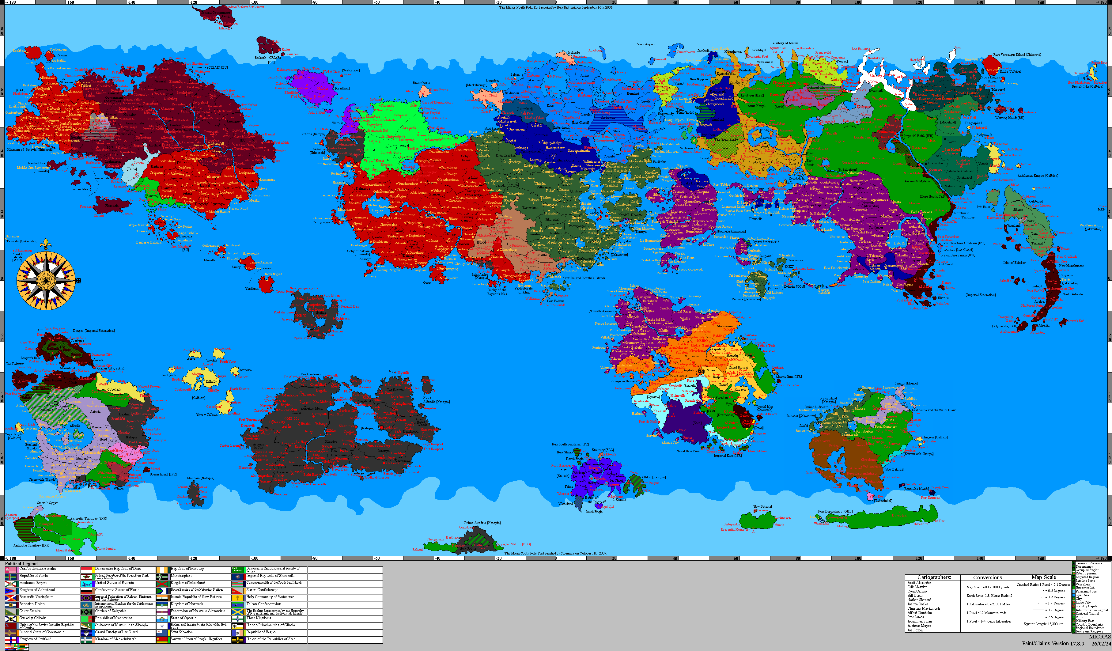
A map of Tri-State Area with the locations of the capital city of Danville and its suburbs, and other major towns.