Template:Tri-State Area location map: Difference between revisions
From MicrasWiki
Jump to navigationJump to search
No edit summary |
No edit summary |
||
| Line 15: | Line 15: | ||
|lat13=35.61|long13=129.26|label13_size=90 |label13={{nowrap|[[Petite Martinique|<i style="color:gray;">Petite Martinique</i>]]}}|position13=right|mark13size=0 | |lat13=35.61|long13=129.26|label13_size=90 |label13={{nowrap|[[Petite Martinique|<i style="color:gray;">Petite Martinique</i>]]}}|position13=right|mark13size=0 | ||
|lat14=35.5974|long14=129.0332|label14_size=110 |label14='''[[Danville]]'''|position14=top|mark14=Red pog.svg | |lat14=35.5974|long14=129.0332|label14_size=110 |label14='''[[Danville]]'''|position14=top|mark14=Red pog.svg | ||
|lat15=35.5608|long15=129.0332|label15_size=95 |label15=[[Pantai Tanjeuran]]|position15=left|mark15=Blue pog.svg | |||
|lat16=35.6114|long16=129.0152|label16_size=95 |label16=[[Sembulan]]|position16=left|mark16=Blue pog.svg | |||
}}<noinclude>[[Category:Phinbella templates]][[Category:Image templates]]</noinclude> | }}<noinclude>[[Category:Phinbella templates]][[Category:Image templates]]</noinclude> | ||
Revision as of 15:24, 10 January 2023


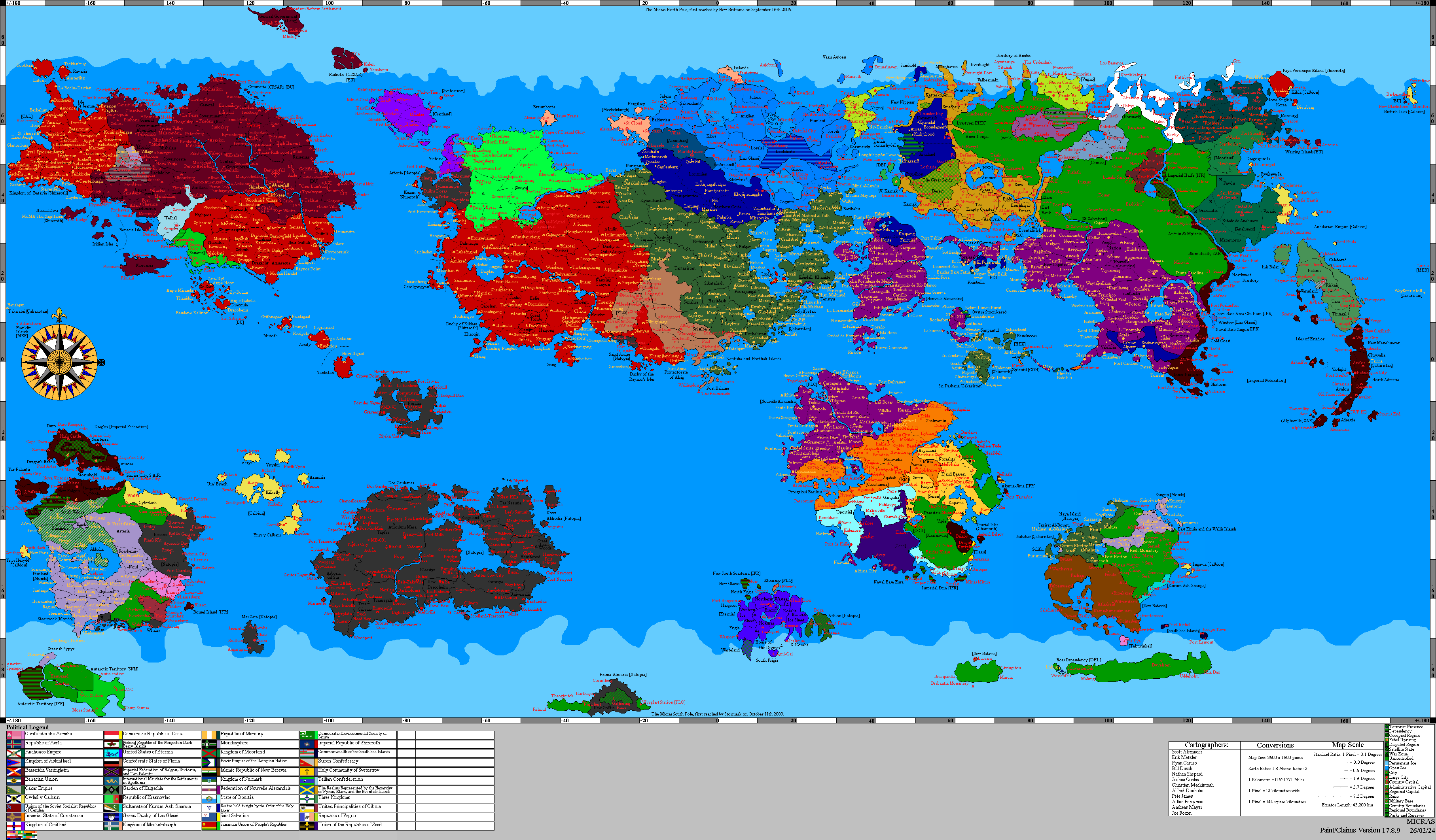
A map of Tri-State Area with the locations of the capital city of Danville and its suburbs, and other major towns.