Agalore: Difference between revisions
No edit summary |
No edit summary |
||
| Line 3: | Line 3: | ||
|nation = {{team flag|Aerla}} | |nation = {{team flag|Aerla}} | ||
|name = Agalore | |name = Agalore | ||
|population = | |population = 967,287 | ||
|language = [[Common tongue]] | |language = [[Common tongue]] | ||
|roads = | |roads = | ||
|districts = | |districts = | ||
|mayor = | |mayor = Conner Nixon | ||
|image_map = Agalore. | |image_map = Agalore 1762.png | ||
|maps = | |maps = | ||
|spcoords = | |spcoords = | ||
| Line 14: | Line 14: | ||
}} | }} | ||
'''{{PAGENAME}}''' ([[Aerlan Commonspeak|Commonspeak]]: '''Agalör''') is a city in [[Aerla]]. It is the nation's second largest population center. | '''{{PAGENAME}}''' ([[Aerlan Commonspeak|Commonspeak]]: '''Agalör''') is a city in [[Aerla]]. It is located 150 km form [[Noursala]] and serves as the western terminus of the [[Harriston-Agalore Rail Corridor]]. | ||
The city is the nation's second largest population center with a population of 967,287. It is home to [[Agalore Merchant Bank]], a private merchant bank founded there in {{AN|1722}}. | |||
==History== | |||
Excavations conducted in {{AN|1759}} uncovered remnants of an Iron-Age settlement in the southeast of the city. During the [[Karnali]] era a village known as ''Marmaparikhanda'' was located in the area. After the area was annexed into the [[Hatay|Hatayyian Empire]], the village was renamed to ''Al-Jaliri''. This name was eventually corrupted by future non-[[wikipedia:Peninsular Arabic|Hatayyian]] speaking populations as ''Agalore.'' | |||
During the founding of the Aerla, there was a debate whether [[Noursala]] or Agalore should become the government's new home. Noursala was chosen as it contained a greater population and was more geographically centered than Agalore. | |||
Latest revision as of 20:08, 19 November 2026
| Nation: |  Aerla |
| Population: | 967,287 |
| Predominant language: | Common tongue |
|
| |
| Main roads: | |
| Major districts: | |
|
| |
| Current mayor: | Conner Nixon |

| |
| Map versions: | |
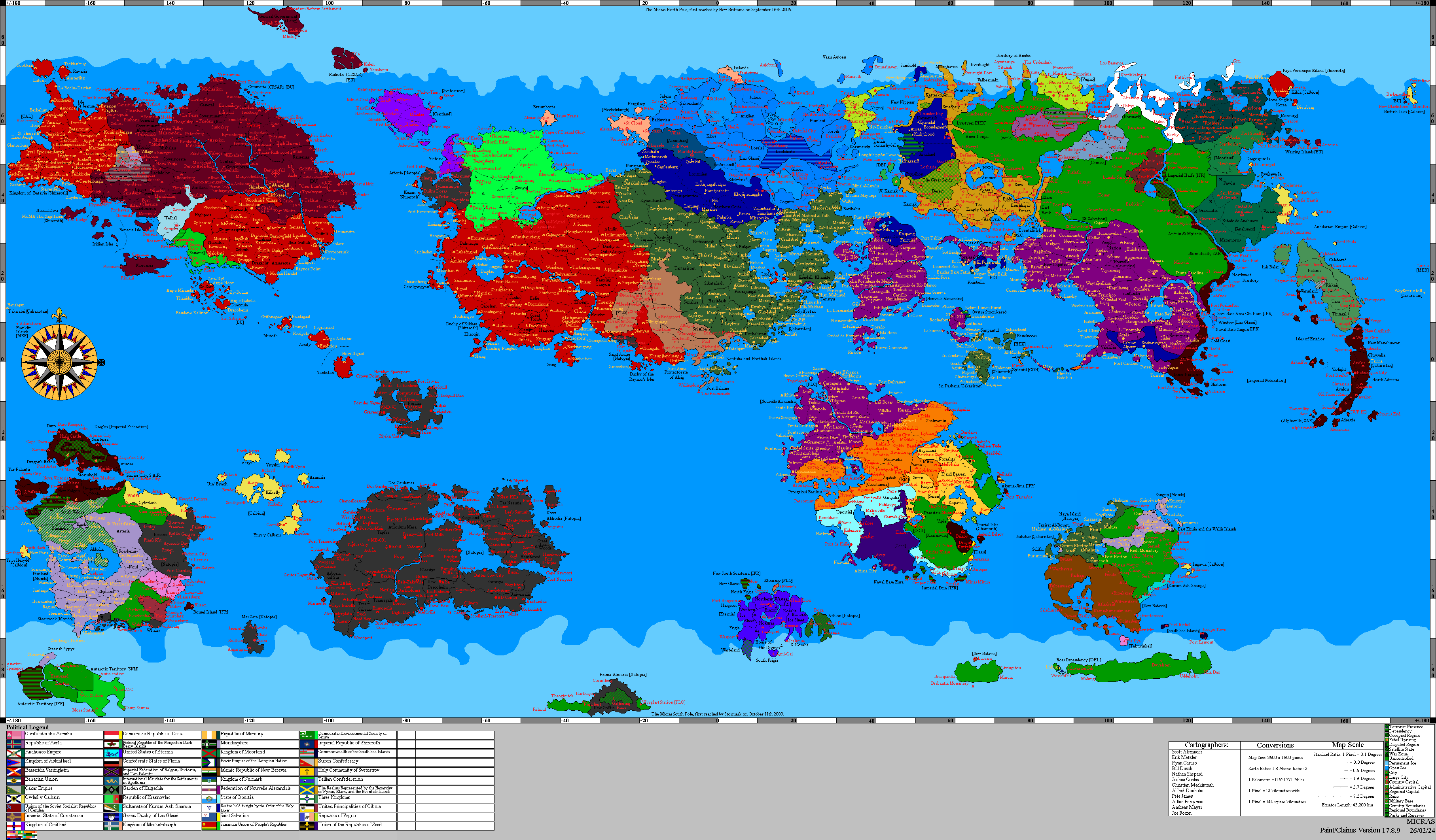
Agalore (Commonspeak: Agalör) is a city in Aerla. It is located 150 km form Noursala and serves as the western terminus of the Harriston-Agalore Rail Corridor.
The city is the nation's second largest population center with a population of 967,287. It is home to Agalore Merchant Bank, a private merchant bank founded there in 1722 AN.
History
Excavations conducted in 1759 AN uncovered remnants of an Iron-Age settlement in the southeast of the city. During the Karnali era a village known as Marmaparikhanda was located in the area. After the area was annexed into the Hatayyian Empire, the village was renamed to Al-Jaliri. This name was eventually corrupted by future non-Hatayyian speaking populations as Agalore.
During the founding of the Aerla, there was a debate whether Noursala or Agalore should become the government's new home. Noursala was chosen as it contained a greater population and was more geographically centered than Agalore.