Gurandoatorasu
From MicrasWiki
Jump to navigationJump to search
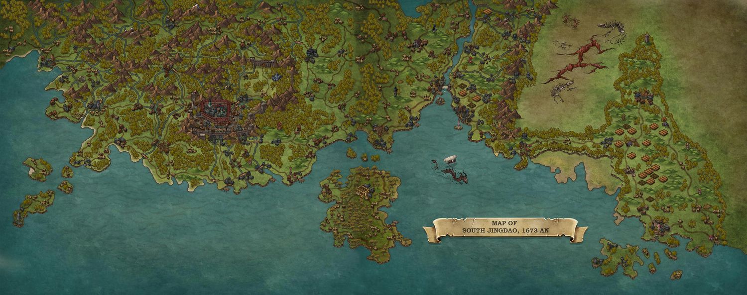
The Gurandoatorasu, or Grand Atlas of Jingdao is an atlas which consists of a collection of maps during the 1670's. Its development was supported and paid for by the Grand Secretariat. The work focused heavily on localising the many settlements of the Jingdaoese Empire, while attempts were also made to make it into an appealing document for the greater public. Waterways and mountain ranges were included as well. The atlas consists of eight regional maps, to allow for more precision and detail.
A team of ten Jingdaoese cartographers, including the Badaweian Zheng Tuts (Geerolf Toets), contributed at developing the immense work.
Maps
Map I & II: Southern regions
Double map of the southern region (combining Map I and II):
