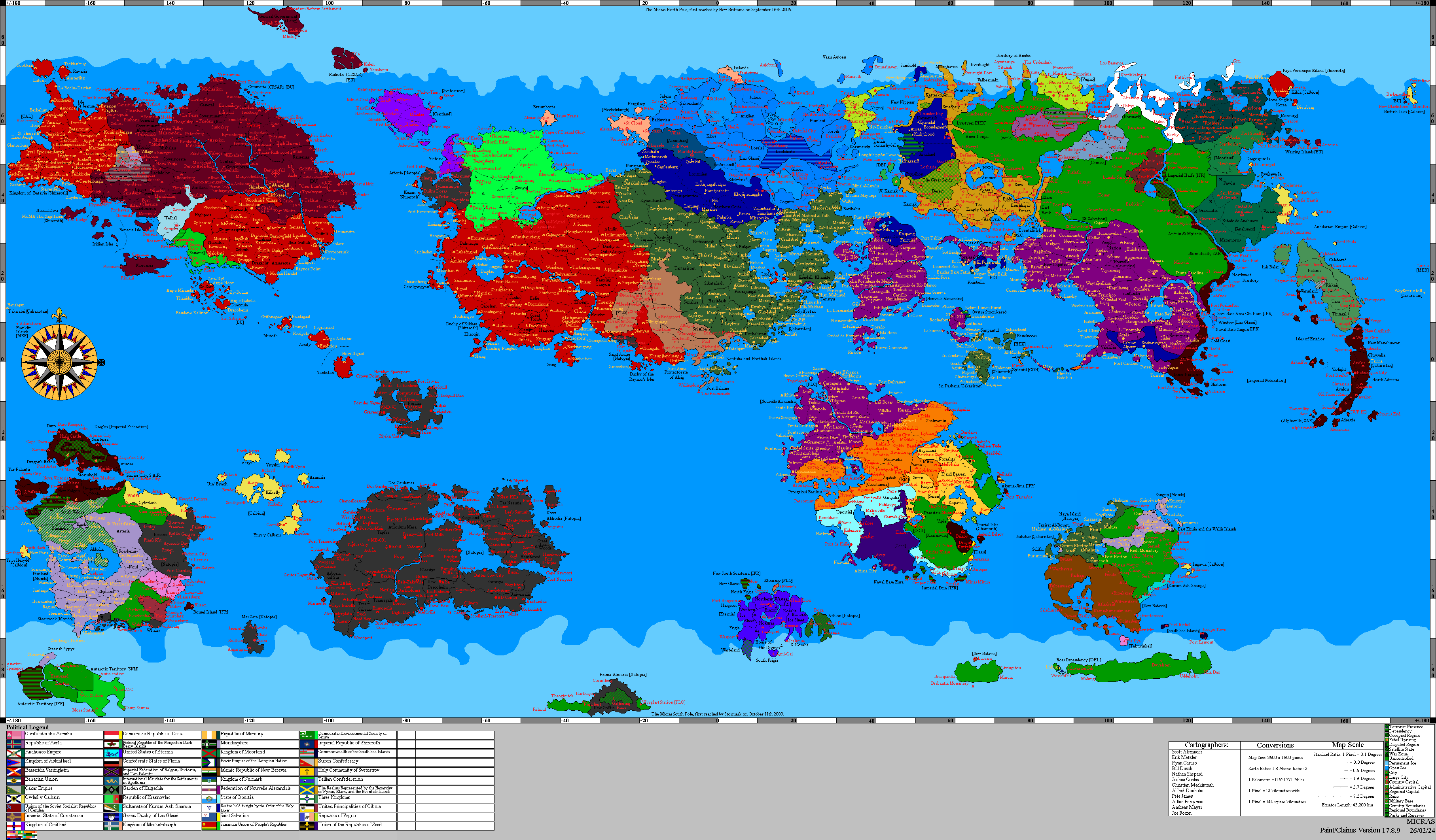
A Guide to the Geosciences

A Guide to the Geosciences (Alexandrian: Un Guide des Géosciences) is a textbook by Rául Ebajas, a leading geologist from Nouvelle Alexandrie, published in 1728 AN. It is generally regarded as a hallmark for textbooks on the geosciences, especially the extensive information on volcanology. The book has been updated and reissued numerous times, the the 3rd edition finished in 1736 AN.
Ebajas' work emphasizes quantitative reasoning, field observations, laboratory analysis, and the integration of geological processes operating across vastly different spatial and temporal scales.
Synopsis
Theme 1: Introduction to Geosciences
The first part establishes theoretical foundations of geology before introducing the major Micras systems and the scientific methods used throughout the remainder of the book.
Theme 2: Volcanology
The second part explores magma generation, volcanic landforms, eruptive mechanisms, hazard assessment, and monitoring technologies.
Theme 3: Hydrology
The third part combines geology, climatology, and engineering principles to explain groundwater movement, river systems, aquifer dynamics, and water-resource management.
Theme 4: Seismology
The fourth part explores the principles behind earthquakes and tectonic processes, including disaster management and detection.
Theme 5: Geophysics
The fifth section explores the physical principles governing Micras' interior, including gravity, magnetism, heat flow, and geophysical exploration.
Theme 6: Meteorology
The sixth section explores the close relationship between atmospheric processes and geological systems, including weather, climate, and atmospheric circulation.
Theme 7: Oceanography
The seventh and last section examines the geological role of the oceans, from seafloor spreading to marine sediments and ocean circulation.
| Theme | Chapter | Pages |
|---|---|---|
| I | 1: The Scope and Development of the Geosciences | 3-28 |
| 2: Scientific Methodology in Geological Research | 29-60 | |
| 3: Micras' Origin, Internal Structure, and Geological Evolution | 61-92 | |
| 4: Minerals, Rocks, and the Rock Cycle | 93-120 | |
| II | 5: Fundamentals of Magmatism | 121-165 |
| 6: Volcanic Landforms and Tectonic Settings | 166-205 | |
| 7: Eruption Dynamics and Pyroclastic Processes | 206-240 | |
| 8: Volcanic Hazards and Risk Assessment | 241-275 | |
| 9: Geochemistry of Volcanic Systems | 276-305 | |
| 10: Monitoring Active Volcanoes and Eruption Forecasting | 306-320 | |
| III | 11: The Hydrological Cycle and Surface Water Systems | 321-350 |
| 12: Groundwater Hydrology and Aquifer Dynamics | 351-395 | |
| 13: Fluvial Geomorphology and River Evolution | 396-430 | |
| 14: Hydro-geochemistry and Water Quality | 431-455 | |
| 15: Water Resources, Sustainability, and Environmental
Management |
456-480 | |
| IV | 16: Elastic Deformation and Earthquake Mechanics | 481-520 |
| 17: Seismic Waves and Their Propagation | 521-565 | |
| 18: Global Plate Tectonics and Seismic Belts | 566-595 | |
| 19: Earthquake Measurement and Instrumentation | 596-615 | |
| 20: Fault Systems and Crustal Deformation | 616-660 | |
| 21: Seismic Hazard Assessment | 661-680 | |
| V | 22: Physical Properties of Micras | 681-720 |
| 23: Gravity and Micras' Gravitational Field | 721-740 | |
| 24: Geomagnetism and Paleomagnetism | 741-770 | |
| 25: Heat Flow and Geothermal Processes | 771-800 | |
| 26: Seismic Exploration Methods | 801-830 | |
| 27: Electrical and Electromagnetic Survey Techniques | 831-845 | |
| VI | 28: Composition and Structure of the Atmosphere | 846-885 |
| 29: Atmospheric Dynamics and Global Circulation | 886-920 | |
| 30: Weather Systems and Climate Processes | 921-955 | |
| 31: Climate Systems and Variability | 956-980 | |
| VII | 32: Physical Properties of Ocean Waters | 981-1000 |
| 33: Ocean Circulation Systems | 1001-1025 | |
| 34: Marine Sedimentation and Basin Formation | 1026-1054 | |
| 35: Ocean-Atmosphere Coupling Systems | 1055-1081 | |
| 36: Marine Geology and Seafloor Processes | 1082-1105 |
Supplementary
The book comes with several supplementary educational materials. These are the Study Guide, which provides review questions, practice problems, and summaries of important concepts; and interactive software known as GeoLab, which has visualisations and simulations of geological processes, ecosystems, oceanographic processes, atmospheric interaction, volcanic development, and hydrological cycles.