Fenrir
- For the Imperial Bloodline of the same name, see Line of Fenrir.
| ||
| Orbital characteristics | ||
| Mass (Kg) | 1.56E+23 | |
| Radius (Km) | 1,850 | |
| Solar Day (h) | 36.9 | |
| Orbital Period (days) | 2.14 | |
| Semi-Major Axis (Km) | 440,141(km) | |
| Periapsis (AU) | .003 | |
| Apoapsis (AU) | .003 | |
| Albedo | .01 | |
| Surface Temperature (K) | 151 | |
| Surface Gravity (m/s^2) | 3.05 | |
| Axial Tile (degrees) | 1.5 | |
| Inclination (degrees) | .2 | |
| Orbital Speed (Km/s) | 21.2 | |
| Satellites | None | |

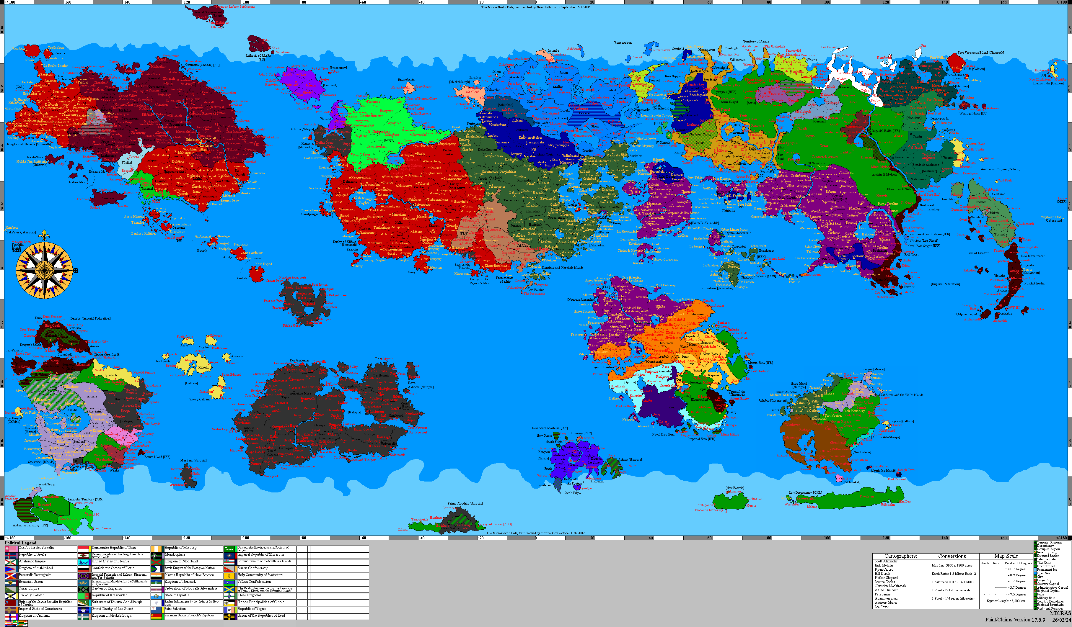
Fenrir is the moon which most closely orbits the planet Chrysos.
North Polar Regions


The North Polar Regions of Fenrir are defined by extensive glacial cover, fractured ice shelves, and sharply eroded highland terrain. Along the northernmost edge, thick ice sheets dominate the landscape, broken by deep fissures and exposed rock where long-term pressure has fractured the surface. Beneath this frozen boundary lies the rugged upland region known as the Marches of Varkun, a harsh expanse of broken ridgelines and cratered ground shaped by repeated stress and erosion. To the south of this, the elevated massif called the Crown of Ferrum rises prominently above the surrounding terrain, its circular structure and steep interior walls marking one of the most dominant features in the northern hemisphere.
Nearby, the large depression known as the Basin of Korynthos cuts deeply into the surrounding plateau, forming a dark, enclosed basin that contrasts with the lighter ice above. Eastward, the terrain transitions into the uplifted highlands of the Bastion Arkhavel, a region of elevated ridges and fractured slopes, before giving way to the broken boundary zone known as the Verge of Haifara. Together, these regions form a northern landscape defined by elevation, fracture, and compression, where glacial forces and structural instability continuously reshape the terrain.
The northern hemisphere is therefore characterized by a balance between ice and exposed stone, where ancient impacts, tectonic stress, and glacial movement have combined to produce a landscape of dominance and endurance. The Marches of Varkun, Crown of Ferrum, Basin of Korynthos, Bastion Arkhavel, and Verge of Haifara together define a region where stability is rare and strength is measured by resistance to constant environmental pressure.
Equatorial Regions
The Equatorial Regions of Fenrir are dominated by dark plains, broad volcanic-looking expanses, impact basins, and fields of mineral-stained dust. Much of the equatorial belt is covered in extremely low-reflectivity terrain, consistent with Fenrir’s very low overall albedo. Across this dark surface lie scattered crater chains, circular depressions, broken escarpments, and broad plains interrupted by patches of lighter dust or frost.
Several large structures define the equatorial zone. One of the most prominent is a massive circular basin or caldera-like feature in the northern half of the map, surrounded by darker ejecta-like terrain and enclosed within a broad depressed province. Elsewhere, lower-relief impact structures, partially buried craters, and elongated dark basins stretch across the equatorial band. Fine golden-brown surface material is spread across parts of these plains in diffuse streaks and patches, creating lighter zones over the darker ground.
The equatorial regions contain the broadest uninterrupted exposures of Fenrir’s rocky surface. Ice is far less extensive here than at the poles, though isolated bright patches remain in sheltered depressions and along colder margins. The result is a landscape defined by dark plains, old impacts, and low-latitude terrain that preserves the moon’s most expansive exposed crust.
Southern Polar Regions
The Southern Polar Regions of Fenrir are covered by an extensive polar ice mass broken by dark rocky uplands, embayed margins, and broad zones of fractured frozen ground. The southern cap is less uniform than the north, with wide areas of roughened ice, broken shelves, enclosed basins, and exposed darker terrain interrupting the brighter deposits. Several isolated uplands and crater rims rise through the frozen surface near the polar transition zone.
The boundary between the southern ice and the darker mid-latitudes is highly irregular. Ice fills low basins, spreads through channels and troughs, and gathers in broad apron-like deposits along the edges of rough terrain. In some areas the frozen cover forms smooth plains, while in others it is disrupted by ridges, pits, and broken structural lines that give the polar zone a heavily deformed appearance.
The southern hemisphere preserves the same strong contrast seen in the north: bright frozen deposits at high latitude set against a dark, ancient, impact-marked surface. Taken together, the south presents Fenrir as a moon of black lowland plains and persistent polar ice, with the frozen caps concentrated at the margins of a much darker and older crust.
Unusual Qualities
Fenrir is known for seasonal sublimation fogs that gather along the boundary between its black lowland plains and the permanent polar ice. These fogbanks form when volatile material trapped in the frozen margins is briefly released into the near-surface environment during periods of seasonal warming or local pressure change, producing broad, low-lying veils that roll across the dark terrain before freezing out again. Because the underlying plains absorb far more light than the surrounding ice, these fogs are especially striking from orbit and often appear as pale moving fronts spreading over the moon’s darker equatorial lowlands.
Some surveys have also noted that the darkest plains of Fenrir retain heat differently from the brighter icy regions around them, producing sharp local contrasts in surface temperature. This has led to recurring interest in the contact zones between the black terrain and the polar caps, where transient haze, frost redeposition, and volatile transport are most active. These regions remain among the most visually distinctive and scientifically important parts of the moon.