Template:PhinbellaMap

From MicrasWiki
Revision as of 08:49, 21 May 2020 by Kemal HagemaruFRP (talk | contribs)
(diff) ← Older revision | Latest revision (diff) | Newer revision → (diff)
Jump to navigationJump to search
Map of the Territories of the Federal Republic of Phinbella
Djoenggo
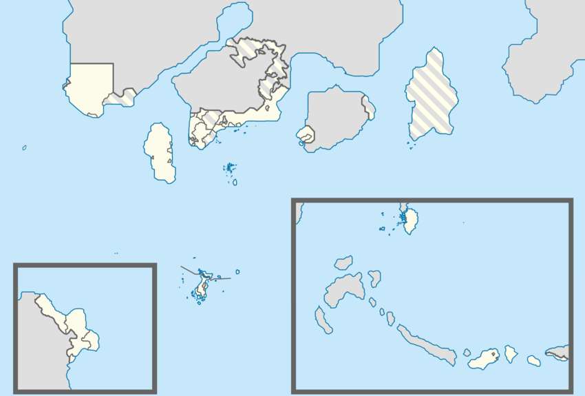
Soccsksargen
(Mainland)
Oriental Taemhwan
Oriental Taemhwan
Maritiimi
-Maxhestics
Permata Mutiara
Pinnacle Strip
and SSS Islands
Territory of Flower
Extraterritorial
Authority
Territory
Unincorporated Territory
Starits
Settlements
Sungaibank
Tri-State Area
Nabor Klafterschaft
Province Wellesley and Suyaj-Ardab
Oriental Taemhwan
Oriental Taemhwan
Carey
Islands
/Țravenōraş
Politama
Cyberaya
Kelavit Highlands
Oriental Taemhwan
Centralotus
Unincorporated
Territory
Soccsksargen
(Dunkinopol Island)
Extraterritorial
Authority
Territory
Starits
Settlements
Libertador General
Bernard O'Higgins
Oriental Digital
Sebelah
Westorney
Kamoveropo
Maritime Kachi Kochi
Halim
Extraterritorial
Authority
Territory
Unincorporated Territory
Sixty-Four
Villages
Eastern Islands
Western Nijima
Retrieved from "https://micras.org/wiki/index.php?title=Template:PhinbellaMap&oldid=152802"
Category:
  • Image templates

Navigation menu

Page actions

  • Template
  • Discussion
  • Read
  • View source
  • History

Page actions

  • Template
  • Discussion
  • More
  • Tools

Personal tools

  • Log in

    Navigation

    • Main page
    • Recent changes
    • Random page
    • Help

    resources

    • Forums
    • Current claimsmap
    • Claimsmap archive

    Tools

    • What links here
    • Related changes
    • Special pages
    • Printable version
    • Permanent link
    • Page information
    GNU Free Documentation License 1.2
    Powered by MediaWiki
    • This page was last edited on 21 May 2020, at 08:49.
    • Content is available under GNU Free Documentation License 1.2 unless otherwise noted.
    • Contact an admin
    • About MicrasWiki
    • Disclaimers