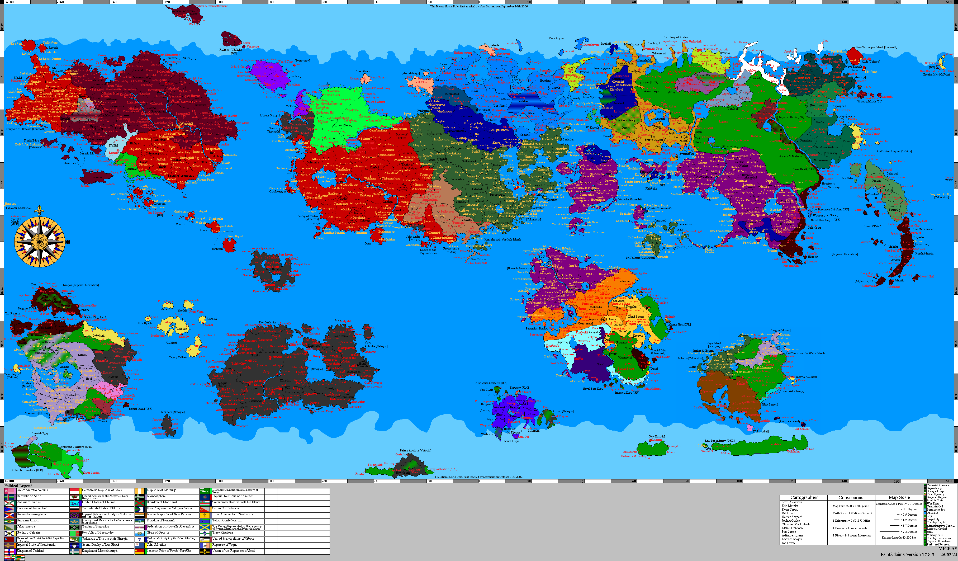
Fenrir: Difference between revisions
NewZimiaGov (talk | contribs) |
NewZimiaGov (talk | contribs) |
||
| Line 52: | Line 52: | ||
==Equatorial Regions== | ==Equatorial Regions== | ||
The Equatorial | The Equatorial Regions of '''Fenrir''' are dominated by dark plains, broad volcanic-looking expanses, impact basins, and fields of mineral-stained dust. Much of the equatorial belt is covered in extremely low-reflectivity terrain, consistent with Fenrir’s very low overall albedo. Across this dark surface lie scattered crater chains, circular depressions, broken escarpments, and broad plains interrupted by patches of lighter dust or frost. | ||
Several large structures define the equatorial zone. One of the most prominent is a massive circular basin or caldera-like feature in the northern half of the map, surrounded by darker ejecta-like terrain and enclosed within a broad depressed province. Elsewhere, lower-relief impact structures, partially buried craters, and elongated dark basins stretch across the equatorial band. Fine golden-brown surface material is spread across parts of these plains in diffuse streaks and patches, creating lighter zones over the darker ground. | |||
The equatorial regions contain the broadest uninterrupted exposures of Fenrir’s rocky surface. Ice is far less extensive here than at the poles, though isolated bright patches remain in sheltered depressions and along colder margins. The result is a landscape defined by dark plains, old impacts, and low-latitude terrain that preserves the moon’s most expansive exposed crust. | |||
==Southern Polar Regions== | ==Southern Polar Regions== | ||
Revision as of 15:40, 13 April 2026
- For the Imperial Bloodline of the same name, see Line of Fenrir.
| ||
| Orbital characteristics | ||
| Mass (Kg) | 1.56E+23 | |
| Radius (Km) | 1,850 | |
| Solar Day (h) | 36.9 | |
| Orbital Period (days) | 2.14 | |
| Semi-Major Axis (Km) | 440,141(km) | |
| Periapsis (AU) | .003 | |
| Apoapsis (AU) | .003 | |
| Albedo | .01 | |
| Surface Temperature (K) | 151 | |
| Surface Gravity (m/s^2) | 3.05 | |
| Axial Tile (degrees) | 1.5 | |
| Inclination (degrees) | .2 | |
| Orbital Speed (Km/s) | 21.2 | |
| Satellites | None | |

Fenrir is the moon which most closely orbits the planet Chrysos.
North Polar Regions

The North Polar Regions of Fenrir are dominated by a broad cap of bright polar ice laid over a dark, heavily reworked crust. The highest latitudes are covered in continuous frozen deposits broken by scarps, fractures, embayed margins, and steep-walled troughs cut into the polar sheet. Along the edge of the cap, the ice gives way abruptly to darker lowland terrain marked by basin walls, collapsed margins, and shadowed depressions.
Beyond the ice front, the northern hemisphere is composed largely of dark plains and impact-scarred uplands. Several large craters and circular basins remain visible beneath thin surface mantling, while long bands of darker material extend across the mid-latitudes below the polar zone. The contrast between the bright northern cap and the blackened surrounding terrain gives this region much of its visual character.
The polar ice is concentrated in the coldest latitudes and in topographic lows near the cap margin. Steep cliffs, broken shelves, and uneven retreat fronts indicate repeated accumulation and structural failure within the frozen deposits. The northern hemisphere as a whole is defined by the meeting of permanent ice and ancient dark crust under persistently cold conditions.
Equatorial Regions
The Equatorial Regions of Fenrir are dominated by dark plains, broad volcanic-looking expanses, impact basins, and fields of mineral-stained dust. Much of the equatorial belt is covered in extremely low-reflectivity terrain, consistent with Fenrir’s very low overall albedo. Across this dark surface lie scattered crater chains, circular depressions, broken escarpments, and broad plains interrupted by patches of lighter dust or frost.
Several large structures define the equatorial zone. One of the most prominent is a massive circular basin or caldera-like feature in the northern half of the map, surrounded by darker ejecta-like terrain and enclosed within a broad depressed province. Elsewhere, lower-relief impact structures, partially buried craters, and elongated dark basins stretch across the equatorial band. Fine golden-brown surface material is spread across parts of these plains in diffuse streaks and patches, creating lighter zones over the darker ground.
The equatorial regions contain the broadest uninterrupted exposures of Fenrir’s rocky surface. Ice is far less extensive here than at the poles, though isolated bright patches remain in sheltered depressions and along colder margins. The result is a landscape defined by dark plains, old impacts, and low-latitude terrain that preserves the moon’s most expansive exposed crust.
Southern Polar Regions
The South Polar region of Fenrir, like the North Polar region, is dominated by ice and cold temperatures. The terrain is a mix of smooth ice fields and rugged, rocky outcrops, creating a visually striking contrast. The South Pole is home to several large subglacial lakes, kept liquid by geothermal heat from the moon's interior. These lakes are of particular interest to scientists studying the potential for microbial life. The dynamic interplay between ice and geothermal activity results in unique formations such as ice caves and meltwater channels.