
Maps of the MCS
Political Map
The standard version of the political map of Micras. Updated on a weekly basis where required, this map keeps track of nations as they come and go, expand and reduce.
The claims map was last updated on Sunday 21st of December 2025.
Political Map (unlabelled)
The above, but without labels.
The unlabelled claims map was last updated on Thursday 2nd of January 2025.
Other Maps
Polar projection (North)
A north polar projection of Micras.
Polar projection (South)
A south polar projection of Micras.
Blank map
A blank map for use in the creation of various, mainly statistical, maps.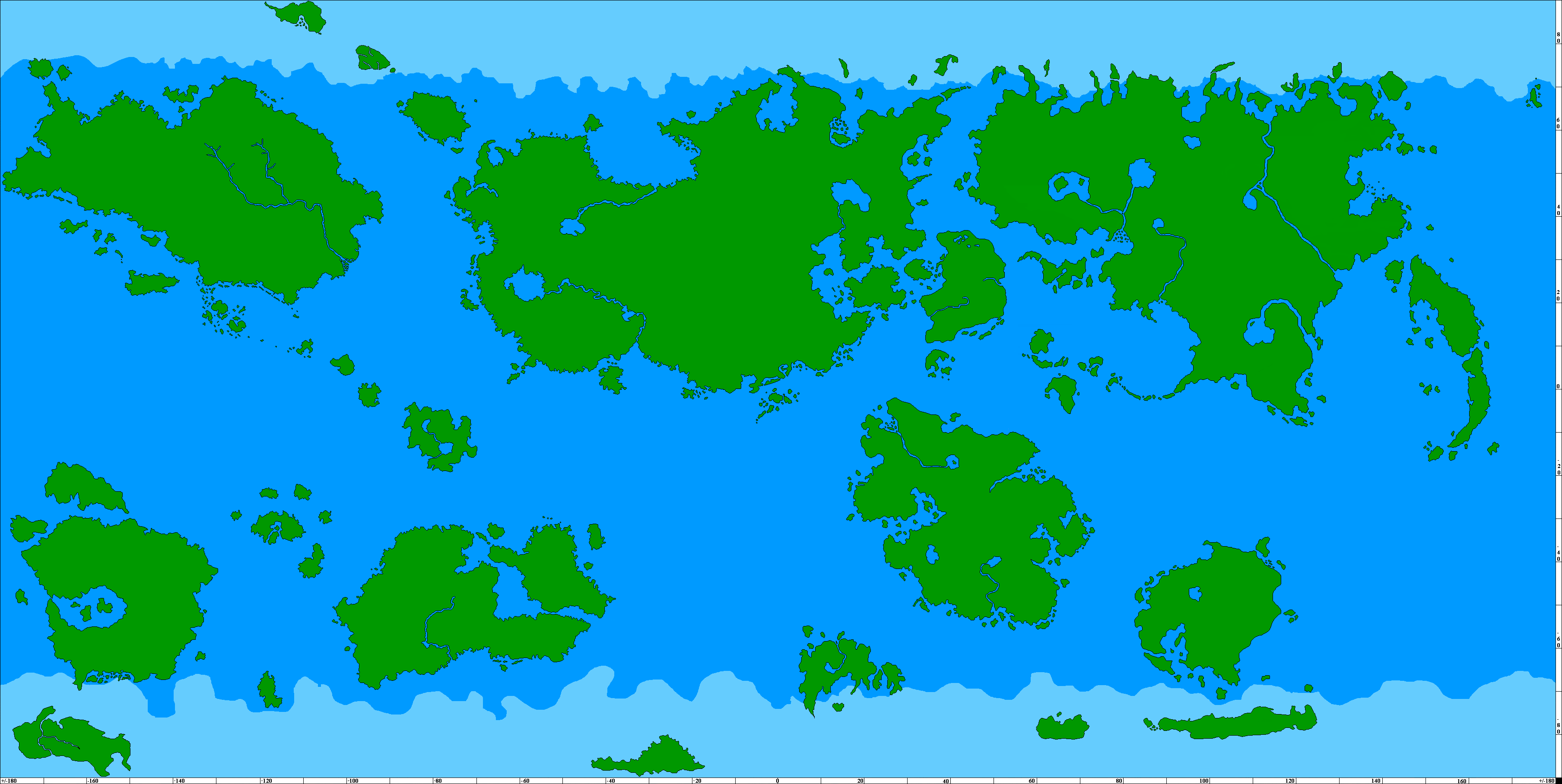
This site is Copyright © 2000-2025 by the Micronational Cartography Society
