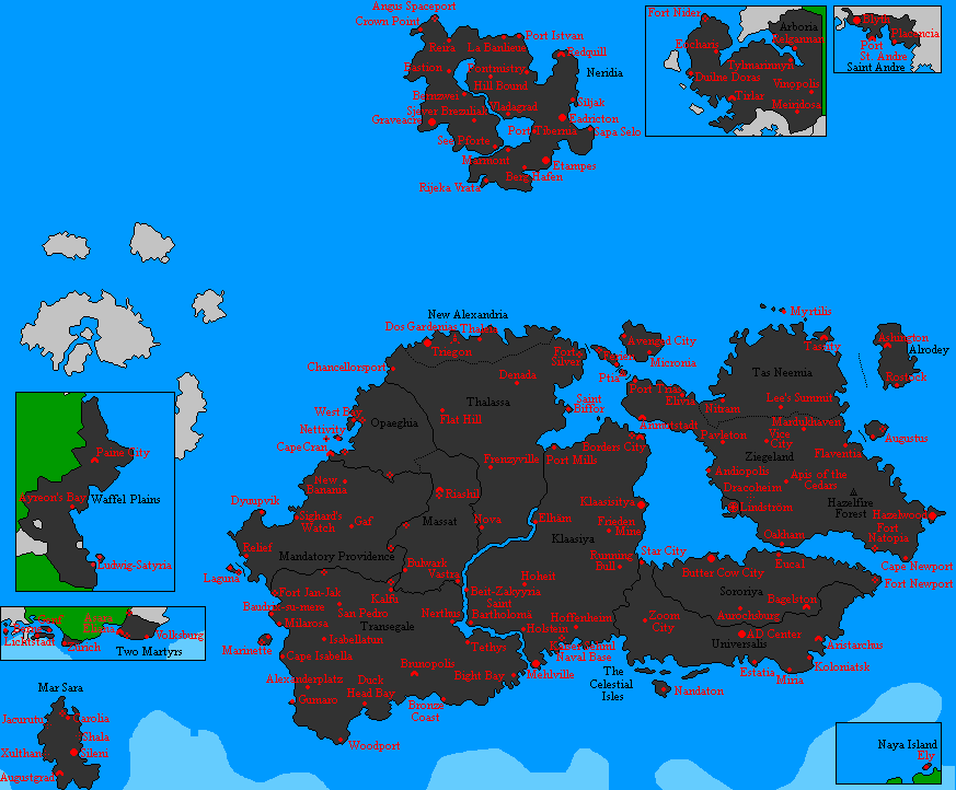
File:New Map 2017.png
From MicrasWiki
Jump to navigationJump to search
Size of this preview: 725 × 600 pixels. Other resolution: 873 × 722 pixels.
Original file (873 × 722 pixels, file size: 56 KB, MIME type: image/png)
Natopia map 2017
File history
Click on a date/time to view the file as it appeared at that time.
| Date/Time | Thumbnail | Dimensions | User | Comment | |
|---|---|---|---|---|---|
| current | 17:05, 2 July 2020 | | 873 × 722 (56 KB) | Nathan (talk | contribs) | |
| 20:37, 6 March 2020 |  | 904 × 722 (57 KB) | Nathan (talk | contribs) | ||
| 20:35, 6 March 2020 | 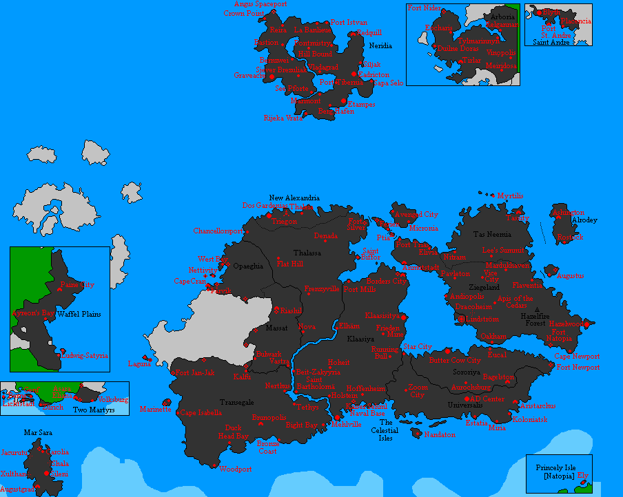 | 904 × 722 (58 KB) | Nathan (talk | contribs) | ||
| 20:34, 6 March 2020 |  | 904 × 742 (55 KB) | Nathan (talk | contribs) | ||
| 23:01, 16 April 2019 |  | 872 × 722 (58 KB) | Nathan (talk | contribs) | April 2019 | |
| 19:26, 22 August 2017 |  | 711 × 836 (57 KB) | Nathan (talk | contribs) | Natopia map 2017 |
You cannot overwrite this file.
File usage
The following page uses this file: