File:Meckelnburgh map 4.png
From MicrasWiki
Jump to navigationJump to search
No higher resolution available.
Meckelnburgh_map_4.png (603 × 450 pixels, file size: 60 KB, MIME type: image/png)
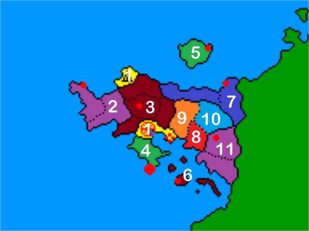
Administrative divisions map of Meckelnburgh
File history
Click on a date/time to view the file as it appeared at that time.
| Date/Time | Thumbnail | Dimensions | User | Comment | |
|---|---|---|---|---|---|
| current | 07:25, 28 May 2020 | | 603 × 450 (60 KB) | James E Wilary (talk | contribs) | |
| 07:19, 28 May 2020 |  | 193 × 144 (3 KB) | James E Wilary (talk | contribs) |
You cannot overwrite this file.
File usage
There are no pages that use this file.