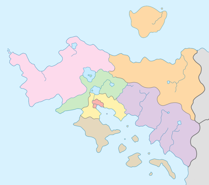
File:Meckelnburgh curling regions map.png
From MicrasWiki
Jump to navigationJump to search

Size of this preview: 677 × 600 pixels. Other resolution: 984 × 872 pixels.
Original file (984 × 872 pixels, file size: 115 KB, MIME type: image/png)
File history
Click on a date/time to view the file as it appeared at that time.
| Date/Time | Thumbnail | Dimensions | User | Comment | |
|---|---|---|---|---|---|
| current | 01:18, 14 May 2024 | | 984 × 872 (115 KB) | James E Wilary (talk | contribs) | |
| 01:16, 14 May 2024 | 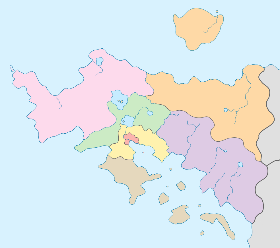 | 984 × 872 (115 KB) | James E Wilary (talk | contribs) |
You cannot overwrite this file.
File usage
The following page uses this file: