File:MCS claims map 16.1.3.png
From MicrasWiki
Jump to navigationJump to search
Size of this preview: 800 × 468 pixels. Other resolutions: 2,560 × 1,499 pixels | 3,630 × 2,125 pixels.
Original file (3,630 × 2,125 pixels, file size: 633 KB, MIME type: image/png)
Summary
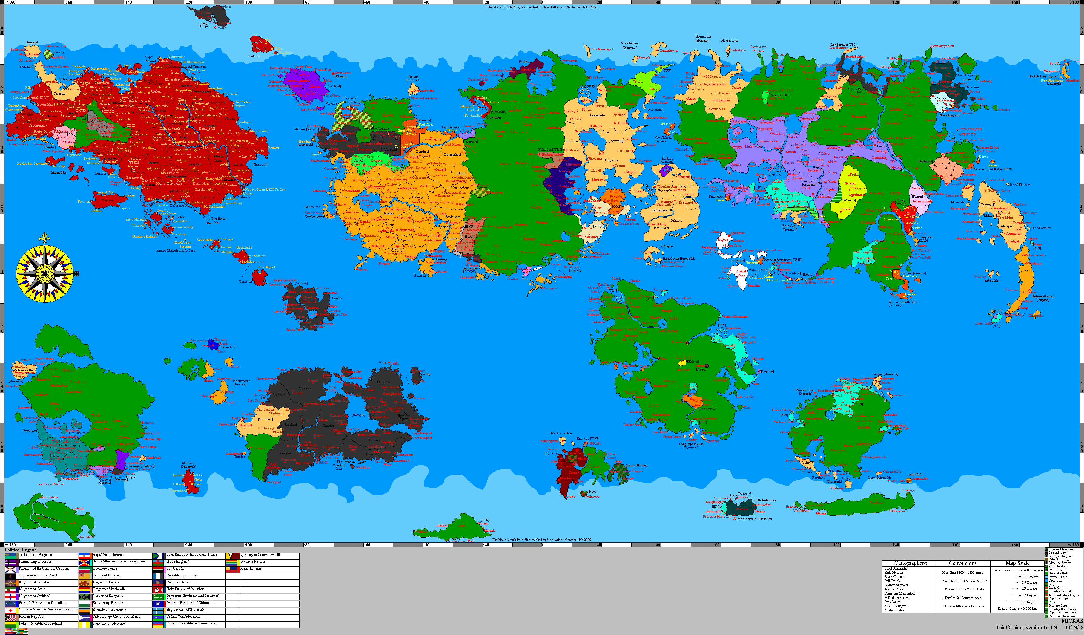
Full Micronational Cartography Society political map, version 16.1.3, dated 4 March 2018. Preserved as the first supplied post-collapse cartographic reference showing Coastalis in territory formerly associated with Alexandria.
- Source: MCS Claimsmap Archive, version 16.1.3
- Original archive filename:
bigworldb-v16.1.3.png
File history
Click on a date/time to view the file as it appeared at that time.
| Date/Time | Thumbnail | Dimensions | User | Comment | |
|---|---|---|---|---|---|
| current | 01:12, 5 September 2026 | | 3,630 × 2,125 (633 KB) | Edgard (talk | contribs) |
You cannot overwrite this file.
File usage
There are no pages that use this file.





