Federal Survey and Mapping Bureau (Sanama)
From MicrasWiki
(Redirected from Federal Survey and Mapping Bureau)
The Federal Survey and Mapping Bureau is the Sanaman national agency responsible for surveys, geology and mapping.
Map repository
National maps
-
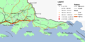
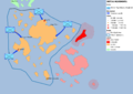
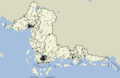
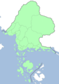 Overview

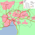
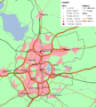
Regional maps
-
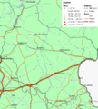
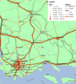 Central Sanilla
 -
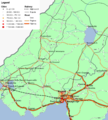
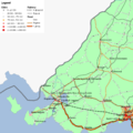 Cisamarra
 -
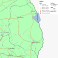
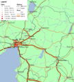 Eastern Amarra
 -
 Eastern Sanilla
 -
 Fatehpur Sikri
 -
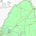 Highpass
 -
 Niyi
Niyi -
 Thanatos
 -
 Western Amarra
 -
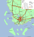 Western Sanilla
 -
 Western Shimmerspring


Military maps
-
 Sanaman intervention in So Sara, initial movements

Language maps
-
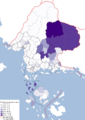
 Sanaman per province
 -
 Istvanistani per province
 -
 Cisamarrese per province
 -
 Yardistani per province
 -
 Babkhi per province
 -
 Laqi per province
 -
 Praeta per province
 -
 Passikaans per province


Demographical maps
-
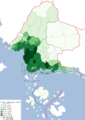
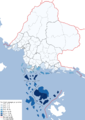
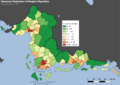 Population per km2, per canton. 1703.
 -
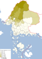
 Population growth 1680–1703.
 -
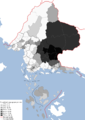
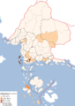
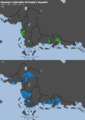 Cantons with a million inhabitants, 1680 and 1703.
 -
 Dot density map, 100k population per dot, 1703.


Electoral maps
-
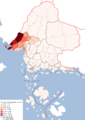
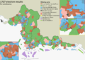 Election results per constituency, 1707.
